Area Overview for MK4 4SY
Photos of MK4 4SY
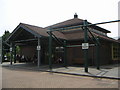
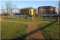
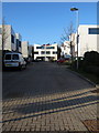
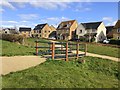


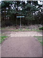
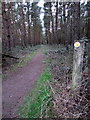
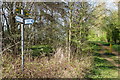
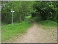
11 photos from this area
Area Information
Key information about the MK4 4SY including its size, population, and administrative classification.
- Area Type
- Postcode
- Area Size
- 4696 m²
- Population
- 1860
- Population Density
- 2682 people/km²
House Prices in MK4 4SY
22
Properties
£286,210
Average Sold Price
£210,000
Lowest Price
£415,000
Highest Price
Showing 22 properties
| Address | Type | Beds | Baths | Last Sale Price | Last Sale Date | |
|---|---|---|---|---|---|---|
| 4 Matthau Lane, Oxley Park, Milton Keynes, MK4 4SY | Semi-detached | 4 | 2 | £367,000 | May 2024 | |
| 13 Matthau Lane, Oxley Park, Milton Keynes, MK4 4SY | Semi-detached | 4 | 2 | £415,000 | Dec 2022 | |
| 10 Matthau Lane, Oxley Park, Milton Keynes, MK4 4SY | house | 4 | 2 | £410,000 | Aug 2022 | |
| 5 Matthau Lane, Oxley Park, Milton Keynes, MK4 4SY | Terraced | 3 | 2 | £332,000 | Jul 2022 | |
| 16 Matthau Lane, Oxley Park, Milton Keynes, MK4 4SY | Terraced | 5 | 3 | £270,000 | Jan 2021 | |
| 20 Matthau Lane, Oxley Park, Milton Keynes, MK4 4SY | Semi-detached | 4 | 2 | £318,500 | Jul 2020 | |
| 15 Matthau Lane, Oxley Park, Milton Keynes, MK4 4SY | Semi-detached | 5 | 2 | £372,000 | Dec 2017 | |
| 18 Matthau Lane, Oxley Park, Milton Keynes, MK4 4SY | Terraced | 2 | 2 | £210,000 | Feb 2016 | |
| 7 Matthau Lane, Oxley Park, Milton Keynes, MK4 4SY | Terraced | 4 | 2 | £240,000 | Nov 2013 | |
| 14 Matthau Lane, Oxley Park, Milton Keynes, MK4 4SY | house | 4 | - | £215,000 | Feb 2012 |
Page 1 of 3
Energy Efficiency in MK4 4SY
Amenities
Schools
| Rank | School | Type | Entry gender | Ages |
|---|
Explore more schools in this area
Go to Schools tabDemographics
Household Size
Family (3-5 people)
most common
Accommodation Type
Houses
most common
Tenure
62
majority
Ethnic Group
White
most common
Religion
N/A
most common
Household Composition
N/A
most common
Age
47
median
Adults (30-64 years)
most common
Household Deprivation
N/A
with no deprivation
NS-SEC
44
in Lower managerial occupations
Explore more demographic insights in this area
Go to Demographics tabPlanning
Planning Constraints
- Flood RiskPremium
- Ramsar Wetland SitesPremium
- Area of Outstanding Natural BeautyPremium
- Protected Nature ReservePremium
- Protected WoodlandPremium