Area Overview for MK4 4QB
Photos of MK4 4QB
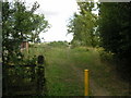
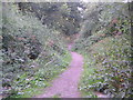
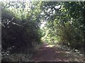
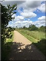
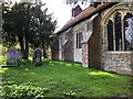
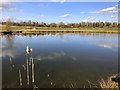
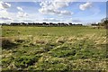
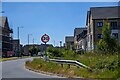
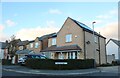
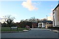
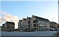
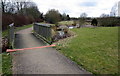
28 photos from this area
Area Information
Key information about the MK4 4QB including its size, population, and administrative classification.
- Area Type
- Postcode
- Area Size
- 1.5 hectares
- Population
- 2954
- Population Density
- 1547 people/km²
House Prices in MK4 4QB
24
Properties
£489,998
Average Sold Price
£480,000
Lowest Price
£499,995
Highest Price
Showing 24 properties
| Address | Type | Beds | Baths | Last Sale Price | Last Sale Date | |
|---|---|---|---|---|---|---|
| 250 Priestley Drive, Tattenhoe Park, Milton Keynes, MK4 4QB | house | - | - | £480,000 | Mar 2024 | |
| 256 Priestley Drive, Tattenhoe Park, Milton Keynes, MK4 4QB | Terraced | 2 | 1 | £499,995 | Jul 2022 | |
| 246 PRIESTLEY DRIVE, Tattenhoe Park, Milton Keynes, MK4 4QB | Detached | - | - | - | - | |
| 226 Priestley Drive, Tattenhoe Park, Milton Keynes, MK4 4QB | house | - | - | - | - | |
| 222 Priestley Drive, Tattenhoe Park, Milton Keynes, MK4 4QB | house | - | - | - | - | |
| 242 Priestley Drive, Tattenhoe Park, Milton Keynes, MK4 4QB | house | - | - | - | - | |
| 214 Priestley Drive, Tattenhoe Park, Milton Keynes, MK4 4QB | Flat | - | - | - | - | |
| 244 Priestley Drive, Tattenhoe Park, Milton Keynes, MK4 4QB | house | - | - | - | - | |
| 240 Priestley Drive, Tattenhoe Park, Milton Keynes, MK4 4QB | Flat | - | - | - | - | |
| 228 Priestley Drive, Tattenhoe Park, Milton Keynes, MK4 4QB | house | - | - | - | - |
Page 1 of 3
Energy Efficiency in MK4 4QB
Amenities
Schools
| Rank | School | Type | Entry gender | Ages |
|---|
Explore more schools in this area
Go to Schools tabDemographics
Household Size
Family (3-5 people)
most common
Accommodation Type
Houses
most common
Tenure
70
majority
Ethnic Group
White
most common
Religion
N/A
most common
Household Composition
N/A
most common
Age
47
median
Adults (30-64 years)
most common
Household Deprivation
N/A
with no deprivation
NS-SEC
44
in Lower managerial occupations
Explore more demographic insights in this area
Go to Demographics tabPlanning
Planning Constraints
- Flood RiskPremium
- Ramsar Wetland SitesPremium
- Area of Outstanding Natural BeautyPremium
- Protected Nature ReservePremium
- Protected WoodlandPremium