Area Overview for MK3 7AE
Photos of MK3 7AE
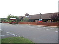
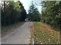
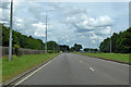
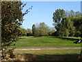
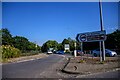

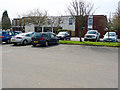
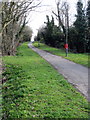
16 photos from this area
Area Information
Key information about the MK3 7AE including its size, population, and administrative classification.
- Area Type
- Postcode
- Area Size
- 1.3 hectares
- Population
- 1705
- Population Density
- 6196 people/km²
House Prices in MK3 7AE
22
Properties
£233,587
Average Sold Price
£66,000
Lowest Price
£418,000
Highest Price
Showing 22 properties
| Address | Type | Beds | Baths | Last Sale Price | Last Sale Date | |
|---|---|---|---|---|---|---|
| 79 Tattenhoe Lane, Bletchley, MK3 7AE | Semi-detached | 4 | 2 | £418,000 | Jul 2024 | |
| 89 Tattenhoe Lane, Bletchley, MK3 7AE | Bungalow | - | - | £310,000 | Jan 2024 | |
| 105 Tattenhoe Lane, Bletchley, MK3 7AE | Bungalow | 2 | - | £320,000 | Sep 2019 | |
| 69 Tattenhoe Lane, Bletchley, MK3 7AE | Bungalow | 2 | 1 | £285,000 | Aug 2017 | |
| 87 Tattenhoe Lane, Bletchley, MK3 7AE | Semi-detached | 3 | 2 | £305,000 | Dec 2016 | |
| 91 Tattenhoe Lane, Bletchley, MK3 7AE | Bungalow | 2 | 1 | £250,000 | Nov 2015 | |
| 73 Tattenhoe Lane, Bletchley, MK3 7AE | Semi-detached | 2 | 1 | £274,995 | Oct 2015 | |
| 97 Tattenhoe Lane, Bletchley, MK3 7AE | Semi-detached | 3 | 1 | £240,000 | Aug 2015 | |
| 71 Tattenhoe Lane, Bletchley, MK3 7AE | Bungalow | 2 | - | £207,500 | Jan 2014 | |
| 77 Tattenhoe Lane, Bletchley, MK3 7AE | Semi-detached | - | - | £249,995 | Jan 2008 |
Page 1 of 3
Energy Efficiency in MK3 7AE
Amenities
Schools
| Rank | School | Type | Entry gender | Ages |
|---|
Explore more schools in this area
Go to Schools tabDemographics
Household Size
Family (3-5 people)
most common
Accommodation Type
Houses
most common
Tenure
56
majority
Ethnic Group
White
most common
Religion
N/A
most common
Household Composition
N/A
most common
Age
47
median
Adults (30-64 years)
most common
Household Deprivation
N/A
with no deprivation
NS-SEC
27
in Lower managerial occupations
Explore more demographic insights in this area
Go to Demographics tabPlanning
Planning Constraints
- Flood RiskPremium
- Ramsar Wetland SitesPremium
- Area of Outstanding Natural BeautyPremium
- Protected Nature ReservePremium
- Protected WoodlandPremium