Area Overview for MK3 5ND
Photos of MK3 5ND
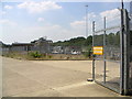
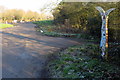
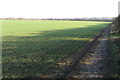
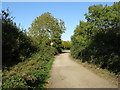
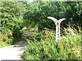
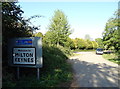
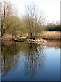
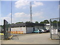
15 photos from this area
Area Information
Key information about the MK3 5ND including its size, population, and administrative classification.
- Area Type
- Postcode
- Area Size
- 6570 m²
- Population
- 1228
- Population Density
- 5574 people/km²
House Prices in MK3 5ND
22
Properties
£122,444
Average Sold Price
£16,000
Lowest Price
£310,000
Highest Price
Showing 22 properties
| Address | Type | Beds | Baths | Last Sale Price | Last Sale Date | |
|---|---|---|---|---|---|---|
| 3 Chepstow Drive, Bletchley, MK3 5ND | Terraced | 2 | 1 | £208,000 | Dec 2024 | |
| 13 Chepstow Drive, Bletchley, MK3 5ND | Terraced | 3 | 1 | £310,000 | Oct 2024 | |
| 5 Chepstow Drive, Bletchley, MK3 5ND | Terraced | 2 | 1 | £215,000 | Jul 2020 | |
| 43 Chepstow Drive, Bletchley, MK3 5ND | house | - | - | £124,000 | May 2020 | |
| 31 Chepstow Drive, Bletchley, MK3 5ND | Flat | 1 | 1 | £42,000 | Apr 2020 | |
| 15 Chepstow Drive, Bletchley, MK3 5ND | Terraced | 2 | 1 | £161,000 | Aug 2014 | |
| 19 Chepstow Drive, Bletchley, MK3 5ND | Bungalow | 2 | - | £180,000 | Aug 2013 | |
| 1 Chepstow Drive, Bletchley, MK3 5ND | Terraced | 4 | - | £245,000 | Aug 2013 | |
| 9 Chepstow Drive, Bletchley, MK3 5ND | house | - | - | £143,000 | May 2013 | |
| 27 Chepstow Drive, Bletchley, MK3 5ND | Semi-detached | - | - | £55,500 | Oct 2007 |
Page 1 of 3
Energy Efficiency in MK3 5ND
Amenities
Schools
| Rank | School | Type | Entry gender | Ages |
|---|
Explore more schools in this area
Go to Schools tabDemographics
Household Size
Family (3-5 people)
most common
Accommodation Type
Houses
most common
Tenure
79
majority
Ethnic Group
White
most common
Religion
N/A
most common
Household Composition
N/A
most common
Age
47
median
Adults (30-64 years)
most common
Household Deprivation
N/A
with no deprivation
NS-SEC
33
in Lower managerial occupations
Explore more demographic insights in this area
Go to Demographics tabPlanning
Planning Constraints
- Flood RiskPremium
- Ramsar Wetland SitesPremium
- Area of Outstanding Natural BeautyPremium
- Protected Nature ReservePremium
- Protected WoodlandPremium