Area Overview for MK3 5EQ
Photos of MK3 5EQ
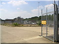
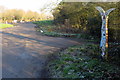
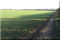
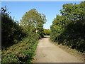
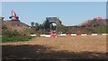
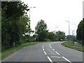
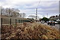
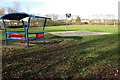
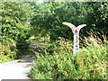
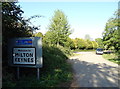
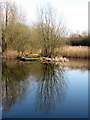
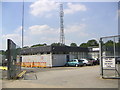
15 photos from this area
Area Information
Key information about the MK3 5EQ including its size, population, and administrative classification.
- Area Type
- Postcode
- Area Size
- 8570 m²
- Population
- 1768
- Population Density
- 2388 people/km²
House Prices in MK3 5EQ
22
Properties
£185,541
Average Sold Price
£52,000
Lowest Price
£325,000
Highest Price
Showing 22 properties
| Address | Type | Beds | Baths | Last Sale Price | Last Sale Date | |
|---|---|---|---|---|---|---|
| 9 St Pauls Road, Bletchley, MK3 5EQ | Semi-detached | 4 | 2 | £320,000 | Mar 2020 | |
| 15 St Pauls Road, Bletchley, MK3 5EQ | Semi-detached | 2 | 1 | £197,750 | Jan 2018 | |
| 13 St Pauls Road, Bletchley, MK3 5EQ | Semi-detached | 2 | 1 | £238,000 | Aug 2017 | |
| 22 St Pauls Road, Bletchley, MK3 5EQ | Semi-detached | 2 | 1 | £229,995 | Apr 2017 | |
| 11 St Pauls Road, Bletchley, MK3 5EQ | Semi-detached | 3 | 2 | £325,000 | Oct 2016 | |
| 18 St Pauls Road, Bletchley, MK3 5EQ | house | - | - | £212,750 | Mar 2016 | |
| 29 St Pauls Road, Bletchley, MK3 5EQ | Terraced | - | - | £169,995 | May 2006 | |
| 10 St Pauls Road, Bletchley, MK3 5EQ | house | - | - | £172,000 | Apr 2006 | |
| 25 St Pauls Road, Bletchley, MK3 5EQ | house | - | - | £138,000 | Mar 2006 | |
| 14 St Pauls Road, Bletchley, MK3 5EQ | house | - | - | £52,000 | Mar 2003 |
Page 1 of 3
Energy Efficiency in MK3 5EQ
Amenities
Schools
| Rank | School | Type | Entry gender | Ages |
|---|
Explore more schools in this area
Go to Schools tabDemographics
Household Size
Family (3-5 people)
most common
Accommodation Type
Houses
most common
Tenure
61
majority
Ethnic Group
White
most common
Religion
N/A
most common
Household Composition
N/A
most common
Age
47
median
Adults (30-64 years)
most common
Household Deprivation
N/A
with no deprivation
NS-SEC
26
in Lower managerial occupations
Explore more demographic insights in this area
Go to Demographics tabPlanning
Planning Constraints
- Flood RiskPremium
- Ramsar Wetland SitesPremium
- Area of Outstanding Natural BeautyPremium
- Protected Nature ReservePremium
- Protected WoodlandPremium