Area Overview for MK19 7AA
Photos of MK19 7AA
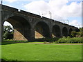
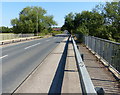
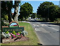
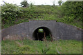
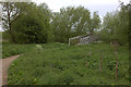
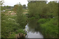
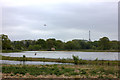
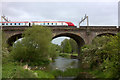
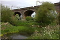
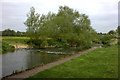
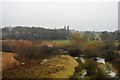
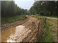
63 photos from this area
Area Information
Key information about the MK19 7AA including its size, population, and administrative classification.
- Area Type
- Postcode
- Area Size
- 7.2 hectares
- Population
- 1278
- Population Density
- 287 people/km²
House Prices in MK19 7AA
26
Properties
£214,921
Average Sold Price
£102,500
Lowest Price
£360,000
Highest Price
Showing 26 properties
| Address | Type | Beds | Baths | Last Sale Price | Last Sale Date | |
|---|---|---|---|---|---|---|
| 8 Wolverton Road, Haversham, MK19 7AA | Semi-detached | 3 | 1 | £300,000 | Feb 2024 | |
| 46 Wolverton Road, Haversham, MK19 7AA | Semi-detached | 4 | 2 | £350,000 | Jul 2020 | |
| 42 Wolverton Road, Haversham, MK19 7AA | Semi-detached | 4 | 1 | £288,000 | Jun 2019 | |
| 20 Wolverton Road, Haversham, MK19 7AA | Semi-detached | 3 | 2 | £307,500 | Dec 2017 | |
| 16 Wolverton Road, Haversham, MK19 7AA | Semi-detached | 3 | 2 | £295,000 | Oct 2017 | |
| 30 Wolverton Road, Haversham, MK19 7AA | Terraced | 2 | 1 | £229,000 | Oct 2017 | |
| 26 Wolverton Road, Haversham, MK19 7AA | Terraced | 2 | 1 | £225,000 | Aug 2016 | |
| 50 Wolverton Road, Haversham, MK19 7AA | house | 4 | - | £360,000 | Jul 2015 | |
| 14 Wolverton Road, Haversham, MK19 7AA | Semi-detached | 3 | - | £220,000 | Apr 2015 | |
| 36 Wolverton Road, Haversham, MK19 7AA | house | 2 | 1 | £175,000 | Aug 2014 |
Page 1 of 3
Energy Efficiency in MK19 7AA
Amenities
Schools
| Rank | School | Type | Entry gender | Ages |
|---|
Explore more schools in this area
Go to Schools tabDemographics
Household Size
Two person
most common
Accommodation Type
Houses
most common
Tenure
87
majority
Ethnic Group
White
most common
Religion
N/A
most common
Household Composition
N/A
most common
Age
47
median
Adults (30-64 years)
most common
Household Deprivation
N/A
with no deprivation
NS-SEC
46
in Lower managerial occupations
Explore more demographic insights in this area
Go to Demographics tabPlanning
Planning Constraints
- Flood RiskPremium
- Ramsar Wetland SitesPremium
- Area of Outstanding Natural BeautyPremium
- Protected Nature ReservePremium
- Protected WoodlandPremium