Area Overview for MK18 7BG
Photos of MK18 7BG
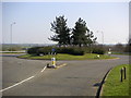
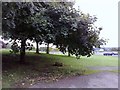
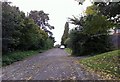

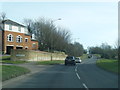
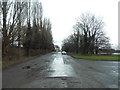
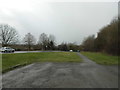
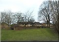
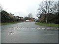
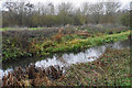
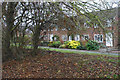
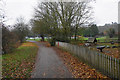
36 photos from this area
Area Information
Key information about the MK18 7BG including its size, population, and administrative classification.
- Area Type
- Postcode
- Area Size
- 1.6 hectares
- Population
- 1463
- Population Density
- 2739 people/km²
House Prices in MK18 7BG
25
Properties
£216,300
Average Sold Price
£48,000
Lowest Price
£385,000
Highest Price
Showing 25 properties
| Address | Type | Beds | Baths | Last Sale Price | Last Sale Date | |
|---|---|---|---|---|---|---|
| 5 Greenway Walk, Buckingham, MK18 7BG | Terraced | 3 | 1 | £300,000 | Oct 2025 | |
| 23 Greenway Walk, Buckingham, MK18 7BG | Semi-detached | 3 | 1 | £337,500 | Nov 2024 | |
| 11 Greenway Walk, Buckingham, MK18 7BG | Terraced | 2 | 1 | £260,000 | Sep 2024 | |
| 1 Greenway Walk, Buckingham, MK18 7BG | Semi-detached | 3 | 1 | £385,000 | Apr 2023 | |
| 14 Greenway Walk, Buckingham, MK18 7BG | Semi-detached | 3 | - | £272,500 | Dec 2021 | |
| 2 Greenway Walk, Buckingham, MK18 7BG | Terraced | 3 | 1 | £297,950 | Sep 2021 | |
| 20 Greenway Walk, Buckingham, MK18 7BG | Semi-detached | 3 | 1 | £290,000 | Jun 2021 | |
| 6 Greenway Walk, Buckingham, MK18 7BG | Semi-detached | 3 | 1 | £283,000 | May 2021 | |
| 12 Greenway Walk, Buckingham, MK18 7BG | Semi-detached | 3 | 1 | £252,500 | Jul 2018 | |
| 19 Greenway Walk, Buckingham, MK18 7BG | Semi-detached | 3 | 1 | £254,000 | Dec 2017 |
Page 1 of 3
Energy Efficiency in MK18 7BG
Amenities
Schools
| Rank | School | Type | Entry gender | Ages |
|---|
Explore more schools in this area
Go to Schools tabDemographics
Household Size
Two person
most common
Accommodation Type
Houses
most common
Tenure
70
majority
Ethnic Group
White
most common
Religion
N/A
most common
Household Composition
N/A
most common
Age
47
median
Adults (30-64 years)
most common
Household Deprivation
N/A
with no deprivation
NS-SEC
39
in Lower managerial occupations
Explore more demographic insights in this area
Go to Demographics tabPlanning
Planning Constraints
- Flood RiskPremium
- Ramsar Wetland SitesPremium
- Area of Outstanding Natural BeautyPremium
- Protected Nature ReservePremium
- Protected WoodlandPremium