Area Overview for MK18 4LX
Photos of MK18 4LX
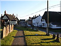
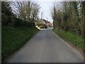
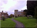
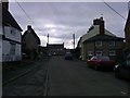
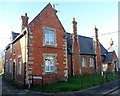


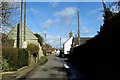
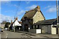


23 photos from this area
Area Information
Key information about the MK18 4LX including its size, population, and administrative classification.
- Area Type
- Postcode
- Area Size
- 5.9 hectares
- Population
- 2469
- Population Density
- 80 people/km²
House Prices in MK18 4LX
25
Properties
£384,288
Average Sold Price
£95,000
Lowest Price
£770,000
Highest Price
Showing 25 properties
| Address | Type | Beds | Baths | Last Sale Price | Last Sale Date | |
|---|---|---|---|---|---|---|
| 2A Pound Lane, Preston Bissett, MK18 4LX | Retail | 3 | 1 | £280,000 | Nov 2024 | |
| The Chestnuts, Pound Lane, Preston Bissett, MK18 4LX | Detached | 4 | 2 | £560,000 | May 2024 | |
| Field View, Pound Lane, Preston Bissett, MK18 4LX | Retail | 2 | 1 | £530,000 | Dec 2022 | |
| Oaklands, Pound Lane, Preston Bissett, MK18 4LX | Detached | 3 | 2 | £530,000 | Aug 2016 | |
| Pinewood, Pound Lane, Preston Bissett, MK18 4LX | Detached | 3 | 2 | £510,000 | Jul 2016 | |
| The Birches, Pound Lane, Preston Bissett, MK18 4LX | Detached | 4 | 2 | £495,000 | Jul 2016 | |
| Maple Court, Pound Lane, Preston Bissett, MK18 4LX | Detached | 4 | 3 | £600,000 | May 2016 | |
| Littlebrook Farm, Pound Lane, Preston Bissett, MK18 4LX | Retail | 4 | 3 | £770,000 | Feb 2016 | |
| 2 Pound Lane, Preston Bissett, MK18 4LX | Terraced | 3 | 1 | £185,000 | Dec 2014 | |
| 6 Pound Lane, Preston Bissett, MK18 4LX | house | - | - | £174,250 | Jul 2009 |
Page 1 of 3
Energy Efficiency in MK18 4LX
Amenities
Schools
| Rank | School | Type | Entry gender | Ages |
|---|
Explore more schools in this area
Go to Schools tabDemographics
Household Size
Family (3-5 people)
most common
Accommodation Type
Houses
most common
Tenure
78
majority
Ethnic Group
White
most common
Religion
N/A
most common
Household Composition
N/A
most common
Age
47
median
Adults (30-64 years)
most common
Household Deprivation
N/A
with no deprivation
NS-SEC
43
in Lower managerial occupations
Explore more demographic insights in this area
Go to Demographics tabPlanning
Planning Constraints
- Flood RiskPremium
- Ramsar Wetland SitesPremium
- Area of Outstanding Natural BeautyPremium
- Protected Nature ReservePremium
- Protected WoodlandPremium