Area Overview for MK18 4JX
Photos of MK18 4JX
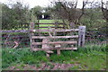
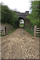
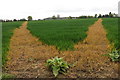
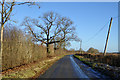
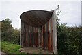
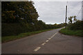
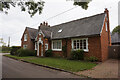
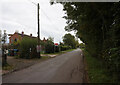
12 photos from this area
Area Information
Key information about the MK18 4JX including its size, population, and administrative classification.
- Area Type
- Postcode
- Area Size
- 65.0 hectares
- Population
- 1905
- Population Density
- 65 people/km²
House Prices in MK18 4JX
23
Properties
£327,500
Average Sold Price
£265,000
Lowest Price
£390,000
Highest Price
Showing 23 properties
| Address | Type | Beds | Baths | Last Sale Price | Last Sale Date | |
|---|---|---|---|---|---|---|
| Kings End Cottage, Manor Farm Road, Barton Hartshorn, MK18 4JX | Semi-detached | 2 | - | £390,000 | Sep 2014 | |
| Home Farm, Manor Farm Road, Barton Hartshorn, MK18 4JX | Detached | - | - | £265,000 | Oct 1998 | |
| Cherry Tree Barn, Manor Farm Road, Barton Hartshorn, MK18 4JX | Semi-detached | 3 | 2 | - | - | |
| Bridge Cottage, Manor Farm Road, Barton Hartshorn, MK18 4JX | Detached | 2 | - | - | - | |
| First Floor Flat, The Manor House, Manor Farm Road, Barton Hartshorn, MK18 4JX | undefined | - | - | - | - | |
| Clinic Flat, The Manor House, Manor Farm Road, Barton Hartshorn, MK18 4JX | undefined | - | - | - | - | |
| Home Farm House, Manor Farm Road, Barton Hartshorn, MK18 4JX | Detached | - | - | - | - | |
| Manor Farm, Manor Farm Road, Barton Hartshorn, MK18 4JX | Detached | 6 | 3 | - | - | |
| Kings End Farm, Manor Farm Road, Barton Hartshorn, MK18 4JX | Semi-detached | - | - | - | - | |
| 2, Garden Cottages, Manor Farm Road, Barton Hartshorn, MK18 4JX | Semi-detached | - | - | - | - |
Page 1 of 3
Energy Efficiency in MK18 4JX
Amenities
Schools
| Rank | School | Type | Entry gender | Ages |
|---|
Explore more schools in this area
Go to Schools tabDemographics
Household Size
Family (3-5 people)
most common
Accommodation Type
Houses
most common
Tenure
78
majority
Ethnic Group
White
most common
Religion
N/A
most common
Household Composition
N/A
most common
Age
47
median
Adults (30-64 years)
most common
Household Deprivation
N/A
with no deprivation
NS-SEC
45
in Lower managerial occupations
Explore more demographic insights in this area
Go to Demographics tabPlanning
Planning Constraints
- Flood RiskPremium
- Ramsar Wetland SitesPremium
- Area of Outstanding Natural BeautyPremium
- Protected Nature ReservePremium
- Protected WoodlandPremium