Area Overview for MK18 3FP
Photos of MK18 3FP
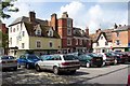

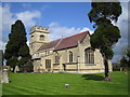
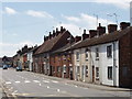
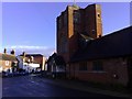
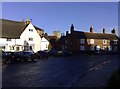
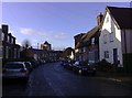
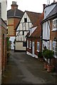
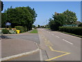
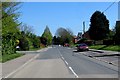
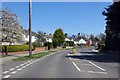
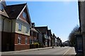
95 photos from this area
Area Information
Key information about the MK18 3FP including its size, population, and administrative classification.
- Area Type
- Postcode
- Area Size
- 2.0 hectares
- Population
- 2423
- Population Density
- 2255 people/km²
House Prices in MK18 3FP
66
Properties
£372,515
Average Sold Price
£189,995
Lowest Price
£545,000
Highest Price
Showing 66 properties
| Address | Type | Beds | Baths | Last Sale Price | Last Sale Date | |
|---|---|---|---|---|---|---|
| 55 Stocks Lane, Winslow, MK18 3FP | Terraced | 2 | 2 | £325,000 | Aug 2025 | |
| 33 Stocks Lane, Winslow, MK18 3FP | Detached | 4 | 2 | £540,000 | Aug 2025 | |
| 63 Stocks Lane, Winslow, MK18 3FP | house | - | - | £435,000 | Apr 2025 | |
| 11 Stocks Lane, Winslow, MK18 3FP | Terraced | 2 | 2 | £321,000 | Apr 2025 | |
| 49 Stocks Lane, Winslow, MK18 3FP | Semi-detached | 3 | 3 | £355,000 | Apr 2024 | |
| 41 Stocks Lane, Winslow, MK18 3FP | Semi-detached | 3 | 2 | £413,000 | Jun 2023 | |
| 51 Stocks Lane, Winslow, MK18 3FP | Semi-detached | 3 | 2 | £387,000 | Apr 2023 | |
| 20 Stocks Lane, Winslow, MK18 3FP | Detached | 4 | 2 | £425,000 | Feb 2023 | |
| 66 Stocks Lane, Winslow, MK18 3FP | Detached | 4 | 2 | £445,000 | Nov 2022 | |
| 47 Stocks Lane, Winslow, MK18 3FP | Semi-detached | 3 | - | £400,000 | Sep 2022 |
Page 1 of 7
Energy Efficiency in MK18 3FP
Amenities
Schools
| Rank | School | Type | Entry gender | Ages |
|---|
Explore more schools in this area
Go to Schools tabDemographics
Household Size
Two person
most common
Accommodation Type
Houses
most common
Tenure
66
majority
Ethnic Group
White
most common
Religion
N/A
most common
Household Composition
N/A
most common
Age
47
median
Adults (30-64 years)
most common
Household Deprivation
N/A
with no deprivation
NS-SEC
42
in Lower managerial occupations
Explore more demographic insights in this area
Go to Demographics tabPlanning
Planning Constraints
- Flood RiskPremium
- Ramsar Wetland SitesPremium
- Area of Outstanding Natural BeautyPremium
- Protected Nature ReservePremium
- Protected WoodlandPremium