Area Overview for MK18 1LN
Photos of MK18 1LN
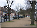
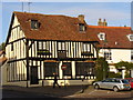
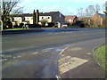
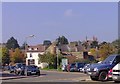
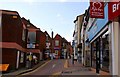
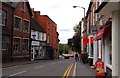
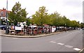
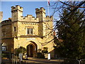
100 photos from this area
Area Information
Key information about the MK18 1LN including its size, population, and administrative classification.
- Area Type
- Postcode
- Area Size
- 2.9 hectares
- Population
- 2320
- Population Density
- 1109 people/km²
House Prices in MK18 1LN
34
Properties
£214,450
Average Sold Price
£15,000
Lowest Price
£365,000
Highest Price
Showing 34 properties
| Address | Type | Beds | Baths | Last Sale Price | Last Sale Date | |
|---|---|---|---|---|---|---|
| 32 Western Avenue, Buckingham, MK18 1LN | house | 3 | 1 | £365,000 | Dec 2025 | |
| 22 Western Avenue, Buckingham, MK18 1LN | Semi-detached | 3 | 1 | £15,000 | Feb 2024 | |
| 42 Western Avenue, Buckingham, MK18 1LN | Terraced | 2 | 1 | £280,000 | Aug 2023 | |
| 82 Western Avenue, Buckingham, MK18 1LN | Terraced | 3 | 1 | £320,000 | May 2023 | |
| 48 Western Avenue, Buckingham, MK18 1LN | house | - | - | £249,995 | Jun 2021 | |
| 54 Western Avenue, Buckingham, MK18 1LN | Terraced | 3 | 1 | £277,500 | Nov 2019 | |
| 40 Western Avenue, Buckingham, MK18 1LN | house | 3 | 1 | £264,000 | May 2019 | |
| 22A Western Avenue, Buckingham, MK18 1LN | house | 2 | 1 | £165,000 | Sep 2014 | |
| 76 Western Avenue, Buckingham, MK18 1LN | Semi-detached | - | - | £140,000 | May 2004 | |
| 64 Western Avenue, Buckingham, MK18 1LN | Terraced | - | - | £68,000 | Nov 1998 |
Page 1 of 4
Energy Efficiency in MK18 1LN
Amenities
Schools
| Rank | School | Type | Entry gender | Ages |
|---|
Explore more schools in this area
Go to Schools tabDemographics
Household Size
Two person
most common
Accommodation Type
Houses
most common
Tenure
57
majority
Ethnic Group
White
most common
Religion
N/A
most common
Household Composition
N/A
most common
Age
47
median
Adults (30-64 years)
most common
Household Deprivation
N/A
with no deprivation
NS-SEC
36
in Lower managerial occupations
Explore more demographic insights in this area
Go to Demographics tabPlanning
Planning Constraints
- Flood RiskPremium
- Ramsar Wetland SitesPremium
- Area of Outstanding Natural BeautyPremium
- Protected Nature ReservePremium
- Protected WoodlandPremium