Area Overview for MK18 1EP
Photos of MK18 1EP
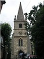
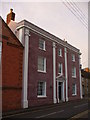
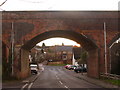
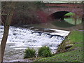
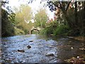
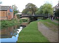
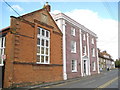
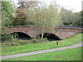
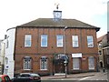
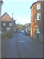
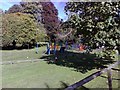
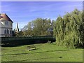
100 photos from this area
Area Information
Key information about the MK18 1EP including its size, population, and administrative classification.
- Area Type
- Postcode
- Area Size
- 5302 m²
- Population
- 1432
- Population Density
- 4291 people/km²
House Prices in MK18 1EP
22
Properties
£370,333
Average Sold Price
£169,500
Lowest Price
£950,000
Highest Price
Showing 22 properties
| Address | Type | Beds | Baths | Last Sale Price | Last Sale Date | |
|---|---|---|---|---|---|---|
| 56 Well Street, Buckingham, MK18 1EP | Retail | 4 | 1 | £525,000 | Oct 2022 | |
| 55 Well Street, Buckingham, MK18 1EP | Terraced | 5 | 3 | £950,000 | Apr 2022 | |
| 54 Well Street, Buckingham, MK18 1EP | Cottage | 3 | 2 | £320,000 | Feb 2019 | |
| 49 Well Street, Buckingham, MK18 1EP | Terraced | - | - | £385,000 | Dec 2018 | |
| 51A Well Street, Buckingham, MK18 1EP | Terraced | 3 | 2 | £370,000 | Aug 2017 | |
| Bourtonhold House, 51 Well Street, Buckingham, MK18 1EP | Terraced | 3 | 2 | £320,000 | May 2016 | |
| 47 Well Street, Buckingham, MK18 1EP | Detached | 3 | - | £370,000 | Jun 2015 | |
| 45 Well Street, Buckingham, MK18 1EP | house | 3 | - | £335,000 | Jun 2015 | |
| 43 Well Street, Buckingham, MK18 1EP | Flat | 2 | 1 | £187,000 | Jul 2014 | |
| 44 Well Street, Buckingham, MK18 1EP | Terraced | 2 | 1 | £177,500 | Nov 2012 |
Page 1 of 3
Energy Efficiency in MK18 1EP
Amenities
Schools
| Rank | School | Type | Entry gender | Ages |
|---|
Explore more schools in this area
Go to Schools tabDemographics
Household Size
One person
most common
Accommodation Type
Houses
most common
Tenure
33
majority
Ethnic Group
White
most common
Religion
N/A
most common
Household Composition
N/A
most common
Age
47
median
Adults (30-64 years)
most common
Household Deprivation
N/A
with no deprivation
NS-SEC
31
in Lower managerial occupations
Explore more demographic insights in this area
Go to Demographics tabPlanning
Planning Constraints
- Flood RiskPremium
- Ramsar Wetland SitesPremium
- Area of Outstanding Natural BeautyPremium
- Protected Nature ReservePremium
- Protected WoodlandPremium