Area Overview for MK17 8QN
Photos of MK17 8QN
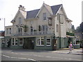
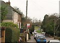
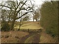
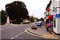
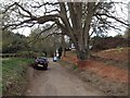
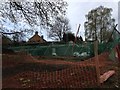
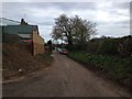
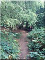
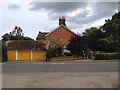


27 photos from this area
Area Information
Key information about the MK17 8QN including its size, population, and administrative classification.
- Area Type
- Postcode
- Area Size
- 9833 m²
- Population
- 2251
- Population Density
- 2173 people/km²
House Prices in MK17 8QN
30
Properties
£210,375
Average Sold Price
£54,750
Lowest Price
£430,000
Highest Price
Showing 30 properties
| Address | Type | Beds | Baths | Last Sale Price | Last Sale Date | |
|---|---|---|---|---|---|---|
| 13 Maple Grove, Woburn Sands, MK17 8QN | Semi-detached | 4 | 2 | £430,000 | Aug 2024 | |
| 24 Maple Grove, Woburn Sands, MK17 8QN | Terraced | 3 | - | £380,000 | Jul 2023 | |
| 3 Maple Grove, Woburn Sands, MK17 8QN | Semi-detached | 3 | 2 | £370,000 | Oct 2022 | |
| 10 Maple Grove, Woburn Sands, MK17 8QN | Semi-detached | 3 | 1 | £315,000 | Jan 2021 | |
| 5 Maple Grove, Woburn Sands, MK17 8QN | Semi-detached | 3 | 3 | £350,000 | Jan 2021 | |
| 8 Maple Grove, Woburn Sands, MK17 8QN | Semi-detached | 3 | 1 | £282,500 | Sep 2016 | |
| 4 Maple Grove, Woburn Sands, MK17 8QN | house | - | - | £174,999 | Oct 2009 | |
| 23 Maple Grove, Woburn Sands, MK17 8QN | house | 4 | - | £166,000 | Oct 2006 | |
| 21 Maple Grove, Woburn Sands, MK17 8QN | Terraced | 3 | 1 | £156,250 | Mar 2006 | |
| 14 Maple Grove, Woburn Sands, MK17 8QN | Terraced | - | - | £193,000 | Mar 2005 |
Page 1 of 3
Energy Efficiency in MK17 8QN
Amenities
Schools
| Rank | School | Type | Entry gender | Ages |
|---|
Explore more schools in this area
Go to Schools tabDemographics
Household Size
Family (3-5 people)
most common
Accommodation Type
Houses
most common
Tenure
69
majority
Ethnic Group
White
most common
Religion
N/A
most common
Household Composition
N/A
most common
Age
47
median
Adults (30-64 years)
most common
Household Deprivation
N/A
with no deprivation
NS-SEC
46
in Lower managerial occupations
Explore more demographic insights in this area
Go to Demographics tabPlanning
Planning Constraints
- Flood RiskPremium
- Ramsar Wetland SitesPremium
- Area of Outstanding Natural BeautyPremium
- Protected Nature ReservePremium
- Protected WoodlandPremium