Area Overview for MK17 0LS
Photos of MK17 0LS
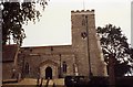
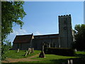

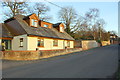
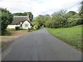
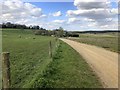
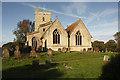
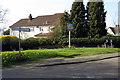
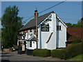
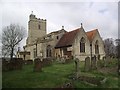
24 photos from this area
Area Information
Key information about the MK17 0LS including its size, population, and administrative classification.
- Area Type
- Postcode
- Area Size
- 6.9 hectares
- Population
- 1609
- Population Density
- 64 people/km²
House Prices in MK17 0LS
37
Properties
£366,245
Average Sold Price
£80,000
Lowest Price
£775,000
Highest Price
Showing 37 properties
| Address | Type | Beds | Baths | Last Sale Price | Last Sale Date | |
|---|---|---|---|---|---|---|
| 9 Stock Lane, Whaddon, MK17 0LS | Detached | 4 | 2 | £775,000 | Dec 2024 | |
| 8 Stock Lane, Whaddon, MK17 0LS | Semi-detached | 5 | 2 | £320,000 | Jan 2022 | |
| 25 Stock Lane, Whaddon, MK17 0LS | Semi-detached | 2 | 1 | £325,000 | Jul 2021 | |
| 1A Stock Lane, Whaddon, MK17 0LS | Semi-detached | 3 | 1 | £380,000 | Mar 2021 | |
| 10 Stock Lane, Whaddon, MK17 0LS | Semi-detached | 3 | 3 | £430,000 | Jul 2020 | |
| 29 Stock Lane, Whaddon, MK17 0LS | Semi-detached | - | - | £155,000 | Dec 2018 | |
| 1 Stock Lane, Whaddon, MK17 0LS | Semi-detached | 3 | 1 | £280,000 | Nov 2018 | |
| Oak Tree Cottage, 35 Stock Lane, Whaddon, MK17 0LS | Detached | 5 | 2 | £650,000 | Nov 2018 | |
| 11 Stock Lane, Whaddon, MK17 0LS | Detached | 2 | 2 | £715,000 | Oct 2018 | |
| Cornerways, Stock Lane, Whaddon, MK17 0LS | Detached | 4 | 2 | £455,000 | Aug 2016 |
Page 1 of 4
Energy Efficiency in MK17 0LS
Amenities
Schools
| Rank | School | Type | Entry gender | Ages |
|---|
Explore more schools in this area
Go to Schools tabDemographics
Household Size
Family (3-5 people)
most common
Accommodation Type
Houses
most common
Tenure
85
majority
Ethnic Group
White
most common
Religion
N/A
most common
Household Composition
N/A
most common
Age
47
median
Adults (30-64 years)
most common
Household Deprivation
N/A
with no deprivation
NS-SEC
49
in Lower managerial occupations
Explore more demographic insights in this area
Go to Demographics tabPlanning
Planning Constraints
- Flood RiskPremium
- Ramsar Wetland SitesPremium
- Area of Outstanding Natural BeautyPremium
- Protected Nature ReservePremium
- Protected WoodlandPremium