Area Overview for MK12 5DH
Photos of MK12 5DH
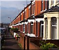
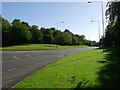
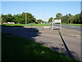
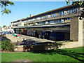
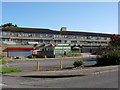
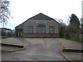
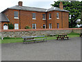
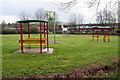
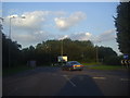
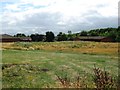
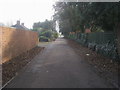
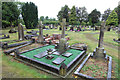
14 photos from this area
Area Information
Key information about the MK12 5DH including its size, population, and administrative classification.
- Area Type
- Postcode
- Area Size
- 1624 m²
- Population
- 1949
- Population Density
- 9299 people/km²
House Prices in MK12 5DH
11
Properties
£225,417
Average Sold Price
£42,000
Lowest Price
£330,000
Highest Price
Showing 11 properties
| Address | Type | Beds | Baths | Last Sale Price | Last Sale Date | |
|---|---|---|---|---|---|---|
| 42 Radcliffe Street, Wolverton, MK12 5DH | house | - | - | £290,000 | Dec 2024 | |
| 40 Radcliffe Street, Wolverton, MK12 5DH | house | - | - | £295,000 | Oct 2024 | |
| 46 Radcliffe Street, Wolverton, MK12 5DH | Maisonette | 1 | 1 | £330,000 | Mar 2023 | |
| 44 Radcliffe Street, Wolverton, MK12 5DH | house | - | - | £247,500 | Nov 2021 | |
| 30 Radcliffe Street, Wolverton, MK12 5DH | Terraced | 2 | 1 | £148,000 | Aug 2014 | |
| 32 Radcliffe Street, Wolverton, MK12 5DH | Terraced | 3 | 1 | £42,000 | Nov 1996 | |
| 38 Radcliffe Street, Wolverton, MK12 5DH | house | 1 | 1 | - | - | |
| 36 Radcliffe Street, Wolverton, MK12 5DH | Terraced | - | - | - | - | |
| 34 Radcliffe Street, Wolverton, MK12 5DH | Terraced | - | - | - | - | |
| A Bruce, Builders Store And Premises Rear Of, 46 Radcliffe Street, Wolverton, MK12 5DH | Industrial | - | - | - | - |
Page 1 of 2
Energy Efficiency in MK12 5DH
Amenities
Schools
| Rank | School | Type | Entry gender | Ages |
|---|
Explore more schools in this area
Go to Schools tabDemographics
Household Size
Family (3-5 people)
most common
Accommodation Type
Houses
most common
Tenure
63
majority
Ethnic Group
White
most common
Religion
N/A
most common
Household Composition
N/A
most common
Age
47
median
Adults (30-64 years)
most common
Household Deprivation
N/A
with no deprivation
NS-SEC
35
in Lower managerial occupations
Explore more demographic insights in this area
Go to Demographics tabPlanning
Planning Constraints
- Flood RiskPremium
- Ramsar Wetland SitesPremium
- Area of Outstanding Natural BeautyPremium
- Protected Nature ReservePremium
- Protected WoodlandPremium