Area Overview for MK12 5AJ
Photos of MK12 5AJ
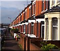
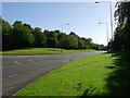
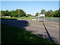
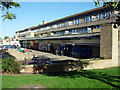
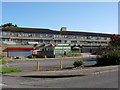
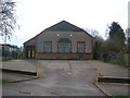
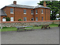
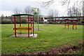
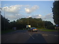
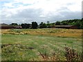
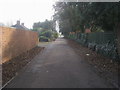
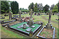
14 photos from this area
Area Information
Key information about the MK12 5AJ including its size, population, and administrative classification.
- Area Type
- Postcode
- Area Size
- 4162 m²
- Population
- 1708
- Population Density
- 8714 people/km²
House Prices in MK12 5AJ
21
Properties
£181,564
Average Sold Price
£50,000
Lowest Price
£350,000
Highest Price
Showing 21 properties
| Address | Type | Beds | Baths | Last Sale Price | Last Sale Date | |
|---|---|---|---|---|---|---|
| 2 Cambridge Street, Wolverton, MK12 5AJ | Terraced | 5 | 4 | £292,500 | May 2025 | |
| 28 Cambridge Street, Wolverton, MK12 5AJ | house | - | - | £350,000 | Aug 2023 | |
| 32 Cambridge Street, Wolverton, MK12 5AJ | house | - | - | £260,000 | Aug 2020 | |
| 8 Cambridge Street, Wolverton, MK12 5AJ | Terraced | 3 | 1 | £245,000 | Sep 2019 | |
| 6 Cambridge Street, Wolverton, MK12 5AJ | Terraced | 5 | 4 | £275,000 | Mar 2019 | |
| 42 Cambridge Street, Wolverton, MK12 5AJ | Terraced | 5 | 3 | £225,000 | Sep 2018 | |
| 40 Cambridge Street, Wolverton, MK12 5AJ | Terraced | 3 | 1 | £185,000 | Jan 2016 | |
| 24 Cambridge Street, Wolverton, MK12 5AJ | house | - | - | £216,700 | Jun 2015 | |
| 36 Cambridge Street, Wolverton, MK12 5AJ | house | - | - | £160,000 | Jan 2008 | |
| 34 Cambridge Street, Wolverton, MK12 5AJ | house | - | - | £125,000 | Dec 2007 |
Page 1 of 3
Energy Efficiency in MK12 5AJ
Amenities
Schools
| Rank | School | Type | Entry gender | Ages |
|---|
Explore more schools in this area
Go to Schools tabDemographics
Household Size
Family (3-5 people)
most common
Accommodation Type
Houses
most common
Tenure
73
majority
Ethnic Group
White
most common
Religion
N/A
most common
Household Composition
N/A
most common
Age
47
median
Adults (30-64 years)
most common
Household Deprivation
N/A
with no deprivation
NS-SEC
38
in Lower managerial occupations
Explore more demographic insights in this area
Go to Demographics tabPlanning
Planning Constraints
- Flood RiskPremium
- Ramsar Wetland SitesPremium
- Area of Outstanding Natural BeautyPremium
- Protected Nature ReservePremium
- Protected WoodlandPremium