Area Overview for MK10 9LL
Photos of MK10 9LL
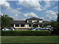
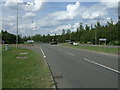
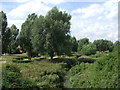
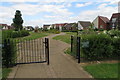
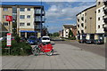

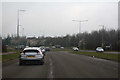
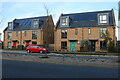
24 photos from this area
Area Information
Key information about the MK10 9LL including its size, population, and administrative classification.
- Area Type
- Postcode
- Area Size
- 8064 m²
- Population
- 2812
- Population Density
- 7227 people/km²
House Prices in MK10 9LL
8
Properties
£333,993
Average Sold Price
£229,950
Lowest Price
£470,000
Highest Price
Showing 8 properties
| Address | Type | Beds | Baths | Last Sale Price | Last Sale Date | |
|---|---|---|---|---|---|---|
| 20 Milton Road, Broughton, Milton Keynes, MK10 9LL | Semi-detached | 5 | 3 | £415,000 | Jul 2024 | |
| 22 Milton Road, Broughton, Milton Keynes, MK10 9LL | house | 5 | 3 | £470,000 | Feb 2023 | |
| 12 Milton Road, Broughton, Milton Keynes, MK10 9LL | house | 5 | - | £390,000 | Sep 2020 | |
| 14 Milton Road, Broughton, Milton Keynes, MK10 9LL | house | - | - | £283,000 | May 2008 | |
| 18 Milton Road, Broughton, Milton Keynes, MK10 9LL | house | 4 | 3 | £275,000 | Jun 2006 | |
| 10 Milton Road, Broughton, Milton Keynes, MK10 9LL | house | 5 | - | £275,000 | Oct 2005 | |
| 16 Milton Road, Broughton, Milton Keynes, MK10 9LL | Terraced | - | - | £229,950 | Jun 2002 | |
| 8 Milton Road, Broughton, Milton Keynes, MK10 9LL | Terraced | 4 | 3 | - | - |
Energy Efficiency in MK10 9LL
Amenities
Schools
| Rank | School | Type | Entry gender | Ages |
|---|
Explore more schools in this area
Go to Schools tabDemographics
Household Size
Family (3-5 people)
most common
Accommodation Type
Houses
most common
Tenure
66
majority
Ethnic Group
White
most common
Religion
N/A
most common
Household Composition
N/A
most common
Age
47
median
Adults (30-64 years)
most common
Household Deprivation
N/A
with no deprivation
NS-SEC
45
in Lower managerial occupations
Explore more demographic insights in this area
Go to Demographics tabPlanning
Planning Constraints
- Flood RiskPremium
- Ramsar Wetland SitesPremium
- Area of Outstanding Natural BeautyPremium
- Protected Nature ReservePremium
- Protected WoodlandPremium