Area Overview for MK1 1BG
Photos of MK1 1BG
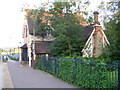
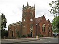
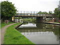
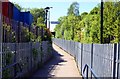
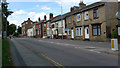
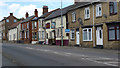
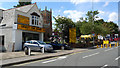
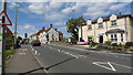
83 photos from this area
Area Information
Key information about the MK1 1BG including its size, population, and administrative classification.
- Area Type
- Postcode
- Area Size
- 4991 m²
- Population
- 2561
- Population Density
- 4486 people/km²
House Prices in MK1 1BG
9
Properties
£212,713
Average Sold Price
£125,000
Lowest Price
£410,000
Highest Price
Showing 9 properties
| Address | Type | Beds | Baths | Last Sale Price | Last Sale Date | |
|---|---|---|---|---|---|---|
| Pear Tree House, 85 Simpson Road, Bletchley, MK1 1BG | Detached | 3 | 2 | £320,000 | Sep 2020 | |
| 69 Simpson Road, Bletchley, MK1 1BG | Semi-detached | 4 | 3 | £410,000 | Jun 2017 | |
| 83 Simpson Road, Bletchley, MK1 1BG | Semi-detached | 2 | 2 | £182,000 | Oct 2013 | |
| 79 Simpson Road, Bletchley, MK1 1BG | house | - | - | £214,000 | Sep 2007 | |
| 77 Simpson Road, Bletchley, MK1 1BG | Terraced | - | - | £164,700 | Dec 2004 | |
| 71 Simpson Road, Bletchley, MK1 1BG | Semi-detached | - | - | £152,000 | Dec 2004 | |
| 73 Simpson Road, Bletchley, MK1 1BG | Semi-detached | 3 | 1 | £134,000 | Sep 2003 | |
| 75 Simpson Road, Bletchley, MK1 1BG | Semi-detached | 3 | - | £125,000 | Mar 2003 | |
| 81 Simpson Road, Bletchley, MK1 1BG | house | - | - | - | - |
Energy Efficiency in MK1 1BG
Amenities
Schools
| Rank | School | Type | Entry gender | Ages |
|---|
Explore more schools in this area
Go to Schools tabDemographics
Household Size
Two person
most common
Accommodation Type
Houses
most common
Tenure
63
majority
Ethnic Group
White
most common
Religion
N/A
most common
Household Composition
N/A
most common
Age
47
median
Adults (30-64 years)
most common
Household Deprivation
N/A
with no deprivation
NS-SEC
29
in Lower managerial occupations
Explore more demographic insights in this area
Go to Demographics tabPlanning
Planning Constraints
- Flood RiskPremium
- Ramsar Wetland SitesPremium
- Area of Outstanding Natural BeautyPremium
- Protected Nature ReservePremium
- Protected WoodlandPremium