Area Overview for ME9 9SQ
Photos of ME9 9SQ
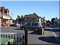
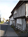
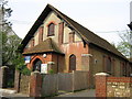
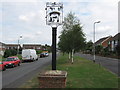
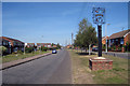

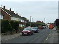
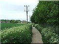
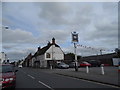
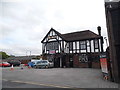
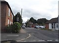
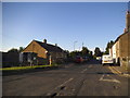
64 photos from this area
Area Information
Key information about the ME9 9SQ including its size, population, and administrative classification.
- Area Type
- Postcode
- Area Size
- 5388 m²
- Population
- 2107
- Population Density
- 3112 people/km²
House Prices in ME9 9SQ
19
Properties
£175,333
Average Sold Price
£72,000
Lowest Price
£310,000
Highest Price
Showing 19 properties
| Address | Type | Beds | Baths | Last Sale Price | Last Sale Date | |
|---|---|---|---|---|---|---|
| 44 Station Road, Teynham, ME9 9SQ | Terraced | 2 | 1 | £310,000 | Apr 2024 | |
| 52 Station Road, Teynham, ME9 9SQ | Semi-detached | 3 | 1 | £164,000 | Aug 2014 | |
| 50 Station Road, Teynham, ME9 9SQ | house | - | - | £172,000 | Feb 2014 | |
| 13 Station Road, Teynham, ME9 9SQ | Terraced | 3 | 1 | £210,000 | Dec 2012 | |
| 46 Station Road, Teynham, ME9 9SQ | Terraced | - | - | £124,000 | Apr 2006 | |
| 48 Station Road, Teynham, ME9 9SQ | Terraced | - | - | £72,000 | Jun 2001 | |
| 56 Station Road, Teynham, ME9 9SQ | Semi-detached | - | - | - | - | |
| 58 Station Road, Teynham, ME9 9SQ | Semi-detached | - | - | - | - | |
| 15A Station Road, Teynham, ME9 9SQ | Semi-detached | - | - | - | - | |
| Noble Cottage, Station Road, Teynham, ME9 9SQ | house | - | - | - | - |
Page 1 of 2
Energy Efficiency in ME9 9SQ
Amenities
Schools
| Rank | School | Type | Entry gender | Ages |
|---|
Explore more schools in this area
Go to Schools tabDemographics
Household Size
Family (3-5 people)
most common
Accommodation Type
Houses
most common
Tenure
68
majority
Ethnic Group
White
most common
Religion
N/A
most common
Household Composition
N/A
most common
Age
47
median
Adults (30-64 years)
most common
Household Deprivation
N/A
with no deprivation
NS-SEC
25
in Lower managerial occupations
Explore more demographic insights in this area
Go to Demographics tabPlanning
Planning Constraints
- Flood RiskPremium
- Ramsar Wetland SitesPremium
- Area of Outstanding Natural BeautyPremium
- Protected Nature ReservePremium
- Protected WoodlandPremium