Area Overview for ME9 7AT
Photos of ME9 7AT
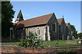
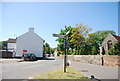
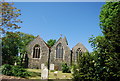
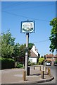
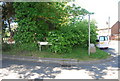
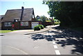
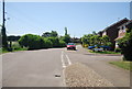
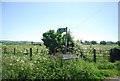
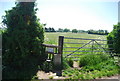
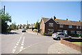
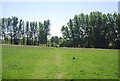
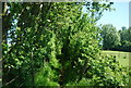
76 photos from this area
Area Information
Key information about the ME9 7AT including its size, population, and administrative classification.
- Area Type
- Postcode
- Area Size
- 1.6 hectares
- Population
- 1318
- Population Density
- 1459 people/km²
House Prices in ME9 7AT
22
Properties
£288,300
Average Sold Price
£53,000
Lowest Price
£555,000
Highest Price
Showing 22 properties
| Address | Type | Beds | Baths | Last Sale Price | Last Sale Date | |
|---|---|---|---|---|---|---|
| 32 Oak Lane, Upchurch, ME9 7AT | Semi-detached | 2 | 2 | £375,000 | Nov 2024 | |
| 16 Oak Lane, Upchurch, ME9 7AT | Semi-detached | 3 | 2 | £555,000 | May 2024 | |
| 22 Oak Lane, Upchurch, ME9 7AT | Semi-detached | 3 | 1 | £375,000 | Feb 2023 | |
| 20 Oak Lane, Upchurch, ME9 7AT | house | - | - | £455,000 | Dec 2021 | |
| 14 Oak Lane, Upchurch, ME9 7AT | house | - | - | £375,000 | Apr 2021 | |
| 4 Oak Lane, Upchurch, ME9 7AT | Semi-detached | 3 | - | £220,000 | May 2014 | |
| 10 Oak Lane, Upchurch, ME9 7AT | house | 3 | - | £225,000 | Aug 2011 | |
| 8 Oak Lane, Upchurch, ME9 7AT | Terraced | - | - | £162,000 | Nov 2002 | |
| 24 Oak Lane, Upchurch, ME9 7AT | Semi-detached | - | - | £88,000 | Oct 1997 | |
| 30 Oak Lane, Upchurch, ME9 7AT | Semi-detached | - | - | £53,000 | Aug 1996 |
Page 1 of 3
Energy Efficiency in ME9 7AT
Amenities
Schools
| Rank | School | Type | Entry gender | Ages |
|---|
Explore more schools in this area
Go to Schools tabDemographics
Household Size
Two person
most common
Accommodation Type
Houses
most common
Tenure
81
majority
Ethnic Group
White
most common
Religion
N/A
most common
Household Composition
N/A
most common
Age
47
median
Adults (30-64 years)
most common
Household Deprivation
N/A
with no deprivation
NS-SEC
33
in Lower managerial occupations
Explore more demographic insights in this area
Go to Demographics tabPlanning
Planning Constraints
- Flood RiskPremium
- Ramsar Wetland SitesPremium
- Area of Outstanding Natural BeautyPremium
- Protected Nature ReservePremium
- Protected WoodlandPremium