Area Overview for ME9 0RL
Photos of ME9 0RL

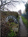
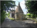
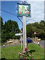
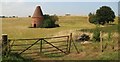
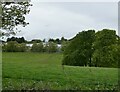
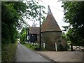

41 photos from this area
Area Information
Key information about the ME9 0RL including its size, population, and administrative classification.
- Area Type
- Postcode
- Area Size
- 40.0 hectares
- Population
- 2901
- Population Density
- 173 people/km²
House Prices in ME9 0RL
21
Properties
£471,438
Average Sold Price
£130,000
Lowest Price
£1,400,000
Highest Price
Showing 21 properties
| Address | Type | Beds | Baths | Last Sale Price | Last Sale Date | |
|---|---|---|---|---|---|---|
| The Regard Partnership, Berkeley House, Lynsted Lane, Lynsted, ME9 0RL | Land | 1 | 1 | £1,400,000 | Jan 2023 | |
| 1, Swedish Houses, Lynsted Lane, Lynsted, ME9 0RL | Semi-detached | 3 | - | £325,000 | Dec 2020 | |
| Beaverwood, Lynsted Lane, Lynsted, ME9 0RL | Detached | 4 | 1 | £475,000 | Oct 2020 | |
| 3, Swedish Houses, Lynsted Lane, Lynsted, ME9 0RL | house | - | - | £239,500 | Sep 2020 | |
| Alverstone, Lynsted Lane, Lynsted, ME9 0RL | Detached | 4 | 2 | £480,000 | Jan 2018 | |
| Orchard Gate, Lynsted Lane, Lynsted, ME9 0RL | Detached | 4 | 2 | £495,000 | Nov 2014 | |
| 2, Swedish Houses, Lynsted Lane, Lynsted, ME9 0RL | house | - | - | £130,000 | Apr 2002 | |
| Lynchett House, Lynsted Lane, Lynsted, ME9 0RL | Detached | 4 | 3 | £227,000 | Sep 1998 | |
| Oak House, Lynsted Lane, Lynsted, ME9 0RL | Detached | 6 | 4 | - | - | |
| Holly House, Lynsted Lane, Lynsted, ME9 0RL | Detached | 3 | 2 | - | - |
Page 1 of 3
Energy Efficiency in ME9 0RL
Amenities
Schools
| Rank | School | Type | Entry gender | Ages |
|---|
Explore more schools in this area
Go to Schools tabDemographics
Household Size
Family (3-5 people)
most common
Accommodation Type
Houses
most common
Tenure
67
majority
Ethnic Group
White
most common
Religion
N/A
most common
Household Composition
N/A
most common
Age
47
median
Adults (30-64 years)
most common
Household Deprivation
N/A
with no deprivation
NS-SEC
32
in Lower managerial occupations
Explore more demographic insights in this area
Go to Demographics tabPlanning
Planning Constraints
- Flood RiskPremium
- Ramsar Wetland SitesPremium
- Area of Outstanding Natural BeautyPremium
- Protected Nature ReservePremium
- Protected WoodlandPremium