Area Overview for ME8 9TD
Photos of ME8 9TD
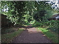

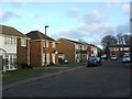
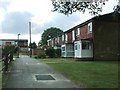
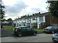
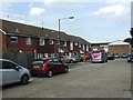
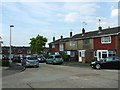
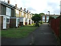
64 photos from this area
Area Information
Key information about the ME8 9TD including its size, population, and administrative classification.
- Area Type
- Postcode
- Area Size
- 9249 m²
- Population
- 1428
- Population Density
- 6367 people/km²
House Prices in ME8 9TD
30
Properties
£193,224
Average Sold Price
£45,000
Lowest Price
£375,250
Highest Price
Showing 30 properties
| Address | Type | Beds | Baths | Last Sale Price | Last Sale Date | |
|---|---|---|---|---|---|---|
| 13 Fane Way, Parkwood, Gillingham, ME8 9TD | Terraced | 3 | 1 | £290,000 | May 2025 | |
| 7 Fane Way, Parkwood, Gillingham, ME8 9TD | house | 3 | 1 | £320,000 | Nov 2023 | |
| 12 Fane Way, Parkwood, Gillingham, ME8 9TD | house | - | - | £375,250 | Nov 2021 | |
| 3 Fane Way, Parkwood, Gillingham, ME8 9TD | house | - | - | £285,000 | Jun 2021 | |
| 2 Fane Way, Parkwood, Gillingham, ME8 9TD | Terraced | 3 | 1 | £290,000 | Jun 2021 | |
| 23 Fane Way, Parkwood, Gillingham, ME8 9TD | Terraced | 2 | 1 | £218,000 | Mar 2021 | |
| 27 Fane Way, Parkwood, Gillingham, ME8 9TD | house | - | - | £225,000 | May 2020 | |
| 15 Fane Way, Parkwood, Gillingham, ME8 9TD | house | - | - | £272,000 | Feb 2017 | |
| 20 Fane Way, Parkwood, Gillingham, ME8 9TD | Terraced | 2 | - | £189,000 | Mar 2016 | |
| 5 Fane Way, Parkwood, Gillingham, ME8 9TD | house | - | - | £175,000 | Jun 2013 |
Page 1 of 3
Energy Efficiency in ME8 9TD
Amenities
Schools
| Rank | School | Type | Entry gender | Ages |
|---|
Explore more schools in this area
Go to Schools tabDemographics
Household Size
Two person
most common
Accommodation Type
Houses
most common
Tenure
81
majority
Ethnic Group
White
most common
Religion
N/A
most common
Household Composition
N/A
most common
Age
47
median
Adults (30-64 years)
most common
Household Deprivation
N/A
with no deprivation
NS-SEC
33
in Lower managerial occupations
Explore more demographic insights in this area
Go to Demographics tabPlanning
Planning Constraints
- Flood RiskPremium
- Ramsar Wetland SitesPremium
- Area of Outstanding Natural BeautyPremium
- Protected Nature ReservePremium
- Protected WoodlandPremium