Area Overview for ME8 9EH
Photos of ME8 9EH

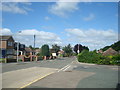
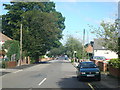


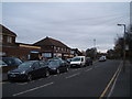

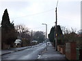
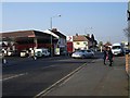
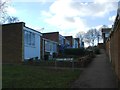
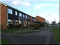
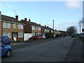
89 photos from this area
Area Information
Key information about the ME8 9EH including its size, population, and administrative classification.
- Area Type
- Postcode
- Area Size
- 7170 m²
- Population
- 1526
- Population Density
- 6249 people/km²
House Prices in ME8 9EH
17
Properties
£256,041
Average Sold Price
£76,000
Lowest Price
£455,000
Highest Price
Showing 17 properties
| Address | Type | Beds | Baths | Last Sale Price | Last Sale Date | |
|---|---|---|---|---|---|---|
| 56 Kenilworth Drive, Rainham, Gillingham, ME8 9EH | house | 4 | 2 | £455,000 | Sep 2025 | |
| 44 Kenilworth Drive, Rainham, Gillingham, ME8 9EH | Retail | 3 | 1 | £400,000 | Oct 2024 | |
| 34 Kenilworth Drive, Rainham, Gillingham, ME8 9EH | house | - | - | £350,000 | Mar 2021 | |
| 40 Kenilworth Drive, Rainham, Gillingham, ME8 9EH | Semi-detached | 3 | - | £300,000 | Nov 2016 | |
| 89 Kenilworth Drive, Rainham, Gillingham, ME8 9EH | Terraced | 3 | 1 | £280,000 | Oct 2016 | |
| 36 Kenilworth Drive, Rainham, Gillingham, ME8 9EH | Semi-detached | 3 | 2 | £260,000 | Oct 2016 | |
| 58 Kenilworth Drive, Rainham, Gillingham, ME8 9EH | house | - | - | £205,000 | Aug 2009 | |
| 91 Kenilworth Drive, Rainham, Gillingham, ME8 9EH | Terraced | 3 | 1 | £178,500 | Oct 2006 | |
| 48 Kenilworth Drive, Rainham, Gillingham, ME8 9EH | Semi-detached | - | - | £192,000 | Jun 2005 | |
| 54 Kenilworth Drive, Rainham, Gillingham, ME8 9EH | Terraced | - | - | £119,950 | Jun 2000 |
Page 1 of 2
Energy Efficiency in ME8 9EH
Amenities
Schools
| Rank | School | Type | Entry gender | Ages |
|---|
Explore more schools in this area
Go to Schools tabDemographics
Household Size
Family (3-5 people)
most common
Accommodation Type
Houses
most common
Tenure
92
majority
Ethnic Group
White
most common
Religion
N/A
most common
Household Composition
N/A
most common
Age
47
median
Adults (30-64 years)
most common
Household Deprivation
N/A
with no deprivation
NS-SEC
36
in Lower managerial occupations
Explore more demographic insights in this area
Go to Demographics tabPlanning
Planning Constraints
- Flood RiskPremium
- Ramsar Wetland SitesPremium
- Area of Outstanding Natural BeautyPremium
- Protected Nature ReservePremium
- Protected WoodlandPremium