Area Overview for ME8 9BZ
Photos of ME8 9BZ
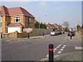
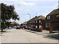
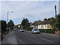
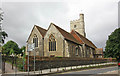
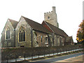
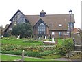
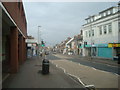
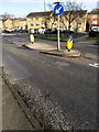
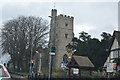
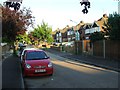
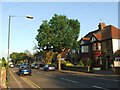
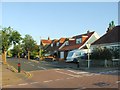
86 photos from this area
Area Information
Key information about the ME8 9BZ including its size, population, and administrative classification.
- Area Type
- Postcode
- Area Size
- 1.7 hectares
- Population
- 1780
- Population Density
- 4378 people/km²
House Prices in ME8 9BZ
26
Properties
£354,041
Average Sold Price
£74,000
Lowest Price
£700,000
Highest Price
Showing 26 properties
| Address | Type | Beds | Baths | Last Sale Price | Last Sale Date | |
|---|---|---|---|---|---|---|
| 17 Herbert Road, Rainham, Gillingham, ME8 9BZ | house | - | - | £425,000 | Oct 2025 | |
| 6 Herbert Road, Rainham, Gillingham, ME8 9BZ | Detached | 4 | 2 | £700,000 | Feb 2024 | |
| 13 Herbert Road, Rainham, Gillingham, ME8 9BZ | Detached | - | - | £510,000 | Sep 2023 | |
| 12 Herbert Road, Rainham, Gillingham, ME8 9BZ | house | 5 | - | £635,000 | Mar 2021 | |
| 1B Herbert Road, Rainham, Gillingham, ME8 9BZ | Terraced | 3 | 1 | £295,000 | Mar 2021 | |
| 3 Herbert Road, Rainham, Gillingham, ME8 9BZ | Bungalow | - | - | £567,000 | Jul 2017 | |
| 5 Herbert Road, Rainham, Gillingham, ME8 9BZ | house | - | - | £425,000 | Nov 2015 | |
| 11 Herbert Road, Rainham, Gillingham, ME8 9BZ | Detached | - | - | £329,995 | Apr 2006 | |
| 22 Herbert Road, Rainham, Gillingham, ME8 9BZ | Detached | - | - | £95,000 | Nov 1998 | |
| 9 Herbert Road, Rainham, Gillingham, ME8 9BZ | Detached | - | - | £87,500 | Apr 1997 |
Page 1 of 3
Energy Efficiency in ME8 9BZ
Amenities
Schools
| Rank | School | Type | Entry gender | Ages |
|---|
Explore more schools in this area
Go to Schools tabDemographics
Household Size
Family (3-5 people)
most common
Accommodation Type
Houses
most common
Tenure
79
majority
Ethnic Group
White
most common
Religion
N/A
most common
Household Composition
N/A
most common
Age
47
median
Adults (30-64 years)
most common
Household Deprivation
N/A
with no deprivation
NS-SEC
34
in Lower managerial occupations
Explore more demographic insights in this area
Go to Demographics tabPlanning
Planning Constraints
- Flood RiskPremium
- Ramsar Wetland SitesPremium
- Area of Outstanding Natural BeautyPremium
- Protected Nature ReservePremium
- Protected WoodlandPremium