Area Overview for ME8 8JJ
Photos of ME8 8JJ
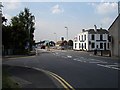
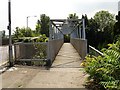
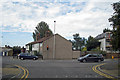
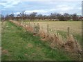
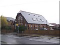
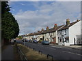
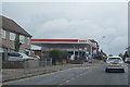
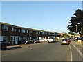
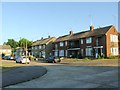
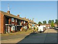
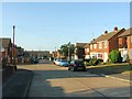
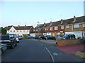
71 photos from this area
Area Information
Key information about the ME8 8JJ including its size, population, and administrative classification.
- Area Type
- Postcode
- Area Size
- 3641 m²
- Population
- 1903
- Population Density
- 595 people/km²
House Prices in ME8 8JJ
11
Properties
£285,571
Average Sold Price
£63,000
Lowest Price
£460,000
Highest Price
Showing 11 properties
| Address | Type | Beds | Baths | Last Sale Price | Last Sale Date | |
|---|---|---|---|---|---|---|
| 54 Oastview, Rainham, Gillingham, ME8 8JJ | Terraced | 3 | 1 | £285,000 | Feb 2024 | |
| 60 Oastview, Rainham, Gillingham, ME8 8JJ | house | - | - | £460,000 | Mar 2022 | |
| 64 Oastview, Rainham, Gillingham, ME8 8JJ | house | - | - | £361,000 | Mar 2021 | |
| 62 Oastview, Rainham, Gillingham, ME8 8JJ | Semi-detached | 4 | 1 | £330,000 | May 2018 | |
| 74 Oastview, Rainham, Gillingham, ME8 8JJ | house | - | - | £350,000 | May 2017 | |
| 72 Oastview, Rainham, Gillingham, ME8 8JJ | Terraced | - | - | £150,000 | Mar 2003 | |
| 56 Oastview, Rainham, Gillingham, ME8 8JJ | Terraced | - | - | £63,000 | Jun 1997 | |
| 70 Oastview, Rainham, Gillingham, ME8 8JJ | Terraced | - | - | - | - | |
| 58 Oastview, Rainham, Gillingham, ME8 8JJ | Terraced | - | - | - | - | |
| 66 Oastview, Rainham, Gillingham, ME8 8JJ | Terraced | - | - | - | - |
Page 1 of 2
Energy Efficiency in ME8 8JJ
Amenities
Schools
| Rank | School | Type | Entry gender | Ages |
|---|
Explore more schools in this area
Go to Schools tabDemographics
Household Size
Family (3-5 people)
most common
Accommodation Type
Houses
most common
Tenure
85
majority
Ethnic Group
White
most common
Religion
N/A
most common
Household Composition
N/A
most common
Age
47
median
Adults (30-64 years)
most common
Household Deprivation
N/A
with no deprivation
NS-SEC
37
in Lower managerial occupations
Explore more demographic insights in this area
Go to Demographics tabPlanning
Planning Constraints
- Flood RiskPremium
- Ramsar Wetland SitesPremium
- Area of Outstanding Natural BeautyPremium
- Protected Nature ReservePremium
- Protected WoodlandPremium