Area Overview for ME8 7UB
Photos of ME8 7UB
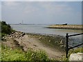
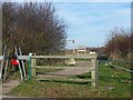
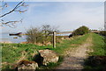
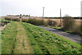
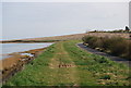
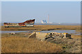

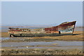
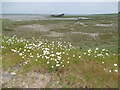
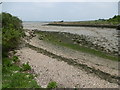
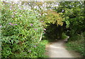
98 photos from this area
Area Information
Key information about the ME8 7UB including its size, population, and administrative classification.
- Area Type
- Postcode
- Area Size
- 14.5 hectares
- Population
- 1578
- Population Density
- 1894 people/km²
House Prices in ME8 7UB
32
Properties
£231,763
Average Sold Price
£36,000
Lowest Price
£615,000
Highest Price
Showing 32 properties
| Address | Type | Beds | Baths | Last Sale Price | Last Sale Date | |
|---|---|---|---|---|---|---|
| 730 Lower Rainham Road, Rainham, Gillingham, ME8 7UB | Terraced | 2 | 1 | £240,000 | Sep 2024 | |
| 764 Lower Rainham Road, Rainham, Gillingham, ME8 7UB | Terraced | 2 | 1 | £380,000 | Nov 2023 | |
| 742 Lower Rainham Road, Rainham, Gillingham, ME8 7UB | Terraced | 2 | 1 | £280,000 | Aug 2022 | |
| 761 Lower Rainham Road, Rainham, Gillingham, ME8 7UB | Retail | 3 | 1 | £325,000 | Apr 2022 | |
| 748 Lower Rainham Road, Rainham, Gillingham, ME8 7UB | house | - | - | £320,000 | Sep 2021 | |
| 732 Lower Rainham Road, Rainham, Gillingham, ME8 7UB | Terraced | 2 | 1 | £203,500 | Dec 2020 | |
| 769 Lower Rainham Road, Rainham, Gillingham, ME8 7UB | Bungalow | - | - | £410,000 | Dec 2016 | |
| 760 Lower Rainham Road, Rainham, Gillingham, ME8 7UB | house | - | - | £240,000 | Sep 2016 | |
| 757 Lower Rainham Road, Rainham, Gillingham, ME8 7UB | Detached | 5 | - | £615,000 | Dec 2015 | |
| 736 Lower Rainham Road, Rainham, Gillingham, ME8 7UB | Terraced | - | - | £125,000 | Jan 2014 |
Page 1 of 4
Energy Efficiency in ME8 7UB
Amenities
Schools
| Rank | School | Type | Entry gender | Ages |
|---|
Explore more schools in this area
Go to Schools tabDemographics
Household Size
Two person
most common
Accommodation Type
Houses
most common
Tenure
83
majority
Ethnic Group
White
most common
Religion
N/A
most common
Household Composition
N/A
most common
Age
47
median
Adults (30-64 years)
most common
Household Deprivation
N/A
with no deprivation
NS-SEC
35
in Lower managerial occupations
Explore more demographic insights in this area
Go to Demographics tabPlanning
Planning Constraints
- Flood RiskPremium
- Ramsar Wetland SitesPremium
- Area of Outstanding Natural BeautyPremium
- Protected Nature ReservePremium
- Protected WoodlandPremium