Area Overview for ME7 5NF
Photos of ME7 5NF
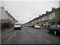
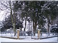
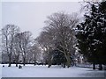
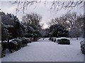
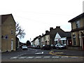
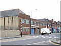
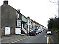
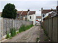
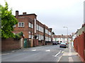
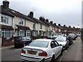
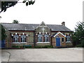
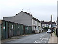
100 photos from this area
Area Information
Key information about the ME7 5NF including its size, population, and administrative classification.
- Area Type
- Postcode
- Area Size
- 5554 m²
- Population
- 1612
- Population Density
- 9595 people/km²
House Prices in ME7 5NF
25
Properties
£163,402
Average Sold Price
£40,000
Lowest Price
£272,500
Highest Price
Showing 25 properties
| Address | Type | Beds | Baths | Last Sale Price | Last Sale Date | |
|---|---|---|---|---|---|---|
| 9 Jezreels Road, Gillingham, ME7 5NF | house | - | - | £216,090 | Apr 2022 | |
| 28 Jezreels Road, Gillingham, ME7 5NF | house | - | - | £272,500 | Sep 2018 | |
| 8 Jezreels Road, Gillingham, ME7 5NF | Terraced | 3 | 1 | £212,000 | Aug 2017 | |
| 26 Jezreels Road, Gillingham, ME7 5NF | Terraced | 3 | 2 | £229,500 | Aug 2017 | |
| 18 Jezreels Road, Gillingham, ME7 5NF | Terraced | 3 | 1 | £200,000 | Feb 2017 | |
| 13 Jezreels Road, Gillingham, ME7 5NF | Terraced | 3 | 1 | £180,000 | Dec 2016 | |
| 7 Jezreels Road, Gillingham, ME7 5NF | Terraced | 3 | 1 | £180,000 | Nov 2015 | |
| 10 Jezreels Road, Gillingham, ME7 5NF | Terraced | 3 | 1 | £167,000 | Jun 2014 | |
| 2 Jezreels Road, Gillingham, ME7 5NF | Terraced | 3 | 1 | £157,000 | Aug 2013 | |
| 24 Jezreels Road, Gillingham, ME7 5NF | house | 3 | - | £125,000 | Sep 2011 |
Page 1 of 3
Energy Efficiency in ME7 5NF
Amenities
Schools
| Rank | School | Type | Entry gender | Ages |
|---|
Explore more schools in this area
Go to Schools tabDemographics
Household Size
Family (3-5 people)
most common
Accommodation Type
Houses
most common
Tenure
51
majority
Ethnic Group
White
most common
Religion
N/A
most common
Household Composition
N/A
most common
Age
47
median
Adults (30-64 years)
most common
Household Deprivation
N/A
with no deprivation
NS-SEC
25
in Lower managerial occupations
Explore more demographic insights in this area
Go to Demographics tabPlanning
Planning Constraints
- Flood RiskPremium
- Ramsar Wetland SitesPremium
- Area of Outstanding Natural BeautyPremium
- Protected Nature ReservePremium
- Protected WoodlandPremium