Area Overview for ME7 4BG
Photos of ME7 4BG
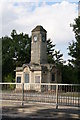
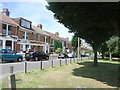
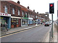
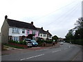
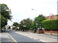
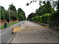
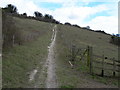
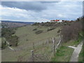
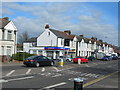
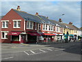
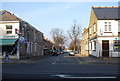
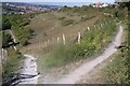
94 photos from this area
Area Information
Key information about the ME7 4BG including its size, population, and administrative classification.
- Area Type
- Postcode
- Area Size
- 7669 m²
- Population
- 1328
- Population Density
- 3393 people/km²
House Prices in ME7 4BG
17
Properties
£199,833
Average Sold Price
£53,000
Lowest Price
£325,000
Highest Price
Showing 17 properties
| Address | Type | Beds | Baths | Last Sale Price | Last Sale Date | |
|---|---|---|---|---|---|---|
| 61 Holmside, Gillingham, ME7 4BG | Bungalow | 2 | 1 | £325,000 | Jun 2024 | |
| 63 Holmside, Gillingham, ME7 4BG | house | - | - | £290,000 | Jun 2021 | |
| 75 Holmside, Gillingham, ME7 4BG | house | 3 | - | £305,000 | Nov 2020 | |
| 73 Holmside, Gillingham, ME7 4BG | Terraced | 3 | - | £235,000 | Jul 2017 | |
| 65 Holmside, Gillingham, ME7 4BG | Bungalow | - | - | £295,000 | Apr 2016 | |
| 47 Holmside, Gillingham, ME7 4BG | Semi-detached | 3 | - | £255,000 | Mar 2016 | |
| 77 Holmside, Gillingham, ME7 4BG | house | - | - | £245,500 | Jan 2016 | |
| 49 Holmside, Gillingham, ME7 4BG | house | 4 | - | £225,000 | Mar 2015 | |
| 71 Holmside, Gillingham, ME7 4BG | house | - | - | £210,000 | Nov 2014 | |
| 79 Holmside, Gillingham, ME7 4BG | house | 4 | 1 | £175,000 | Feb 2014 |
Page 1 of 2
Energy Efficiency in ME7 4BG
Amenities
Schools
| Rank | School | Type | Entry gender | Ages |
|---|
Explore more schools in this area
Go to Schools tabDemographics
Household Size
Family (3-5 people)
most common
Accommodation Type
Houses
most common
Tenure
84
majority
Ethnic Group
White
most common
Religion
N/A
most common
Household Composition
N/A
most common
Age
47
median
Adults (30-64 years)
most common
Household Deprivation
N/A
with no deprivation
NS-SEC
37
in Lower managerial occupations
Explore more demographic insights in this area
Go to Demographics tabPlanning
Planning Constraints
- Flood RiskPremium
- Ramsar Wetland SitesPremium
- Area of Outstanding Natural BeautyPremium
- Protected Nature ReservePremium
- Protected WoodlandPremium