Area Overview for ME7 3RU
Photos of ME7 3RU
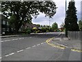
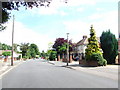
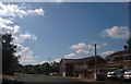
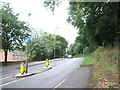

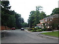
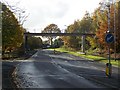
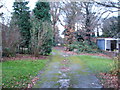
100 photos from this area
Area Information
Key information about the ME7 3RU including its size, population, and administrative classification.
- Area Type
- Postcode
- Area Size
- 8.6 hectares
- Population
- 1664
- Population Density
- 1515 people/km²
House Prices in ME7 3RU
33
Properties
£334,551
Average Sold Price
£139,000
Lowest Price
£850,000
Highest Price
Showing 33 properties
| Address | Type | Beds | Baths | Last Sale Price | Last Sale Date | |
|---|---|---|---|---|---|---|
| 25 Lambsfrith Grove, Hempstead, Gillingham, ME7 3RU | house | 5 | 3 | £700,000 | Oct 2023 | |
| 37 Lambsfrith Grove, Hempstead, Gillingham, ME7 3RU | Bungalow | - | - | £850,000 | Nov 2022 | |
| 24 Lambsfrith Grove, Hempstead, Gillingham, ME7 3RU | Detached | 4 | 2 | £650,000 | Apr 2022 | |
| Cremyll, Lambsfrith Grove, Hempstead, Gillingham, ME7 3RU | Detached | 4 | - | £610,000 | Nov 2017 | |
| 17 Lambsfrith Grove, Hempstead, Gillingham, ME7 3RU | house | - | - | £467,000 | Aug 2017 | |
| Conwin, Lambsfrith Grove, Hempstead, Gillingham, ME7 3RU | Detached | 4 | - | £365,000 | Jul 2014 | |
| 27 Lambsfrith Grove, Hempstead, Gillingham, ME7 3RU | Detached | 4 | 2 | £375,000 | May 2014 | |
| 34 Lambsfrith Grove, Hempstead, Gillingham, ME7 3RU | house | 4 | - | £350,000 | Feb 2014 | |
| 36 Lambsfrith Grove, Hempstead, Gillingham, ME7 3RU | house | - | - | £430,000 | Dec 2013 | |
| 16 Lambsfrith Grove, Hempstead, Gillingham, ME7 3RU | house | - | - | £325,500 | Jul 2009 |
Page 1 of 4
Energy Efficiency in ME7 3RU
Amenities
Schools
| Rank | School | Type | Entry gender | Ages |
|---|
Explore more schools in this area
Go to Schools tabDemographics
Household Size
Two person
most common
Accommodation Type
Houses
most common
Tenure
94
majority
Ethnic Group
White
most common
Religion
N/A
most common
Household Composition
N/A
most common
Age
47
median
Adults (30-64 years)
most common
Household Deprivation
N/A
with no deprivation
NS-SEC
41
in Lower managerial occupations
Explore more demographic insights in this area
Go to Demographics tabPlanning
Planning Constraints
- Flood RiskPremium
- Ramsar Wetland SitesPremium
- Area of Outstanding Natural BeautyPremium
- Protected Nature ReservePremium
- Protected WoodlandPremium