Area Overview for ME7 3RG
Photos of ME7 3RG
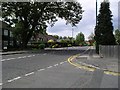
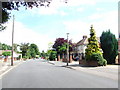
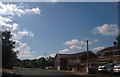
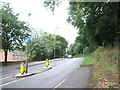

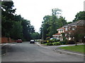
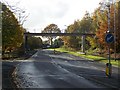
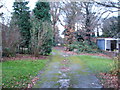
100 photos from this area
Area Information
Key information about the ME7 3RG including its size, population, and administrative classification.
- Area Type
- Postcode
- Area Size
- 8770 m²
- Population
- 1562
- Population Density
- 3369 people/km²
House Prices in ME7 3RG
27
Properties
£154,737
Average Sold Price
£51,000
Lowest Price
£315,000
Highest Price
Showing 27 properties
| Address | Type | Beds | Baths | Last Sale Price | Last Sale Date | |
|---|---|---|---|---|---|---|
| 114 Birch Grove, Hempstead, Gillingham, ME7 3RG | Semi-detached | 2 | 1 | £315,000 | May 2023 | |
| 140 Birch Grove, Hempstead, Gillingham, ME7 3RG | house | - | - | £242,000 | Dec 2019 | |
| 110 Birch Grove, Hempstead, Gillingham, ME7 3RG | Semi-detached | 3 | 1 | £288,000 | Nov 2018 | |
| 132 Birch Grove, Hempstead, Gillingham, ME7 3RG | Terraced | 3 | - | £246,000 | Sep 2015 | |
| 128 Birch Grove, Hempstead, Gillingham, ME7 3RG | Terraced | 2 | - | £160,000 | Apr 2015 | |
| 125 Birch Grove, Hempstead, Gillingham, ME7 3RG | house | - | - | £194,500 | Aug 2013 | |
| 112 Birch Grove, Hempstead, Gillingham, ME7 3RG | house | - | - | £140,000 | Nov 2010 | |
| 106 Birch Grove, Hempstead, Gillingham, ME7 3RG | house | - | - | £160,000 | Apr 2009 | |
| 116 Birch Grove, Hempstead, Gillingham, ME7 3RG | Semi-detached | - | - | £165,000 | Dec 2008 | |
| 120 Birch Grove, Hempstead, Gillingham, ME7 3RG | Terraced | 2 | 1 | £130,000 | Jul 2006 |
Page 1 of 3
Energy Efficiency in ME7 3RG
Amenities
Schools
| Rank | School | Type | Entry gender | Ages |
|---|
Explore more schools in this area
Go to Schools tabDemographics
Household Size
Family (3-5 people)
most common
Accommodation Type
Houses
most common
Tenure
86
majority
Ethnic Group
White
most common
Religion
N/A
most common
Household Composition
N/A
most common
Age
47
median
Adults (30-64 years)
most common
Household Deprivation
N/A
with no deprivation
NS-SEC
41
in Lower managerial occupations
Explore more demographic insights in this area
Go to Demographics tabPlanning
Planning Constraints
- Flood RiskPremium
- Ramsar Wetland SitesPremium
- Area of Outstanding Natural BeautyPremium
- Protected Nature ReservePremium
- Protected WoodlandPremium