Area Overview for ME7 2TQ
Photos of ME7 2TQ

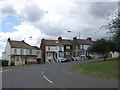
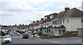
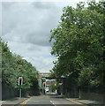
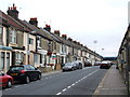
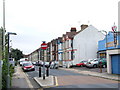
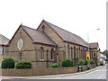
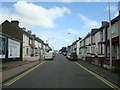
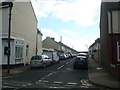

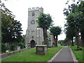
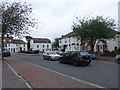
100 photos from this area
Area Information
Key information about the ME7 2TQ including its size, population, and administrative classification.
- Area Type
- Postcode
- Area Size
- 5108 m²
- Population
- 1886
- Population Density
- 4215 people/km²
House Prices in ME7 2TQ
21
Properties
£161,250
Average Sold Price
£45,000
Lowest Price
£240,000
Highest Price
Showing 21 properties
| Address | Type | Beds | Baths | Last Sale Price | Last Sale Date | |
|---|---|---|---|---|---|---|
| 221 Hazlemere Drive, Gillingham, ME7 2TQ | house | - | - | £240,000 | Jul 2022 | |
| 108 Hazlemere Drive, Gillingham, ME7 2TQ | Terraced | 3 | 1 | £215,000 | Dec 2020 | |
| 126 Hazlemere Drive, Gillingham, ME7 2TQ | Terraced | 3 | - | £180,000 | May 2020 | |
| 106 Hazlemere Drive, Gillingham, ME7 2TQ | Terraced | 3 | 1 | £172,500 | Jun 2019 | |
| 124 Hazlemere Drive, Gillingham, ME7 2TQ | house | - | - | £115,000 | Mar 2008 | |
| 110 Hazlemere Drive, Gillingham, ME7 2TQ | Terraced | - | - | £45,000 | Nov 1998 | |
| 118 Hazlemere Drive, Gillingham, ME7 2TQ | Terraced | 3 | - | - | - | |
| 112 Hazlemere Drive, Gillingham, ME7 2TQ | house | - | - | - | - | |
| 223 Hazlemere Drive, Gillingham, ME7 2TQ | house | - | - | - | - | |
| 225 Hazlemere Drive, Gillingham, ME7 2TQ | house | - | - | - | - |
Page 1 of 3
Energy Efficiency in ME7 2TQ
Amenities
Schools
| Rank | School | Type | Entry gender | Ages |
|---|
Explore more schools in this area
Go to Schools tabDemographics
Household Size
Family (3-5 people)
most common
Accommodation Type
Houses
most common
Tenure
55
majority
Ethnic Group
White
most common
Religion
N/A
most common
Household Composition
N/A
most common
Age
47
median
Adults (30-64 years)
most common
Household Deprivation
N/A
with no deprivation
NS-SEC
26
in Lower managerial occupations
Explore more demographic insights in this area
Go to Demographics tabPlanning
Planning Constraints
- Flood RiskPremium
- Ramsar Wetland SitesPremium
- Area of Outstanding Natural BeautyPremium
- Protected Nature ReservePremium
- Protected WoodlandPremium