Area Overview for ME7 2NT
Photos of ME7 2NT

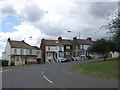
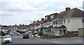
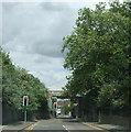
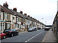
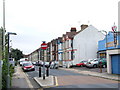
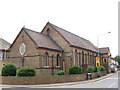
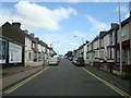
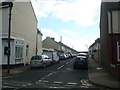

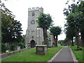
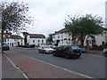
100 photos from this area
Area Information
Key information about the ME7 2NT including its size, population, and administrative classification.
- Area Type
- Postcode
- Area Size
- 5777 m²
- Population
- 1610
- Population Density
- 7502 people/km²
House Prices in ME7 2NT
26
Properties
£180,450
Average Sold Price
£57,000
Lowest Price
£300,000
Highest Price
Showing 26 properties
| Address | Type | Beds | Baths | Last Sale Price | Last Sale Date | |
|---|---|---|---|---|---|---|
| 5 Maple Avenue, Gillingham, ME7 2NT | Flat | 3 | - | £243,000 | Oct 2025 | |
| 86 Maple Avenue, Gillingham, ME7 2NT | Terraced | 3 | - | £260,000 | Oct 2022 | |
| 78 Maple Avenue, Gillingham, ME7 2NT | Retail | 3 | 2 | £300,000 | Aug 2022 | |
| 94 Maple Avenue, Gillingham, ME7 2NT | Terraced | 4 | 1 | £260,000 | May 2019 | |
| 88 Maple Avenue, Gillingham, ME7 2NT | house | - | - | £197,000 | Mar 2019 | |
| 17 Maple Avenue, Gillingham, ME7 2NT | Terraced | 3 | 2 | £233,000 | Apr 2018 | |
| 98 Maple Avenue, Gillingham, ME7 2NT | Terraced | 3 | 1 | £207,000 | Jul 2016 | |
| 76 Maple Avenue, Gillingham, ME7 2NT | house | 4 | - | £140,000 | Mar 2012 | |
| 13 Maple Avenue, Gillingham, ME7 2NT | Terraced | 4 | 2 | £134,750 | Jan 2012 | |
| 100 Maple Avenue, Gillingham, ME7 2NT | house | - | - | £155,000 | Aug 2007 |
Page 1 of 3
Energy Efficiency in ME7 2NT
Amenities
Schools
| Rank | School | Type | Entry gender | Ages |
|---|
Explore more schools in this area
Go to Schools tabDemographics
Household Size
Family (3-5 people)
most common
Accommodation Type
Houses
most common
Tenure
60
majority
Ethnic Group
White
most common
Religion
N/A
most common
Household Composition
N/A
most common
Age
47
median
Adults (30-64 years)
most common
Household Deprivation
N/A
with no deprivation
NS-SEC
25
in Lower managerial occupations
Explore more demographic insights in this area
Go to Demographics tabPlanning
Planning Constraints
- Flood RiskPremium
- Ramsar Wetland SitesPremium
- Area of Outstanding Natural BeautyPremium
- Protected Nature ReservePremium
- Protected WoodlandPremium