Area Overview for ME7 2LS
Photos of ME7 2LS
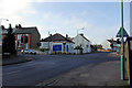
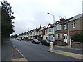
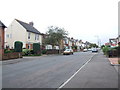
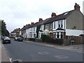
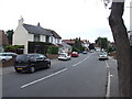
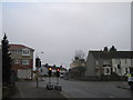
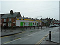
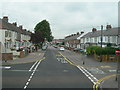
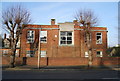
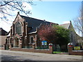
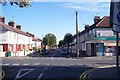
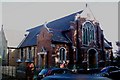
80 photos from this area
Area Information
Key information about the ME7 2LS including its size, population, and administrative classification.
- Area Type
- Postcode
- Area Size
- 9273 m²
- Population
- 1538
- Population Density
- 8942 people/km²
House Prices in ME7 2LS
42
Properties
£175,219
Average Sold Price
£61,995
Lowest Price
£277,000
Highest Price
Showing 42 properties
| Address | Type | Beds | Baths | Last Sale Price | Last Sale Date | |
|---|---|---|---|---|---|---|
| 20 Fourth Avenue, Gillingham, ME7 2LS | Terraced | 2 | 1 | £240,000 | Dec 2025 | |
| 61 Fourth Avenue, Gillingham, ME7 2LS | Terraced | 2 | 2 | £277,000 | Jul 2025 | |
| 36 Fourth Avenue, Gillingham, ME7 2LS | Terraced | 5 | 2 | £241,000 | Apr 2024 | |
| 27 Fourth Avenue, Gillingham, ME7 2LS | Terraced | 2 | 1 | £230,000 | Nov 2023 | |
| 40 Fourth Avenue, Gillingham, ME7 2LS | Terraced | 3 | 1 | £250,000 | Nov 2022 | |
| 41 Fourth Avenue, Gillingham, ME7 2LS | Terraced | 2 | 1 | £265,000 | Oct 2022 | |
| 42 Fourth Avenue, Gillingham, ME7 2LS | house | - | - | £242,000 | Dec 2021 | |
| 31 Fourth Avenue, Gillingham, ME7 2LS | house | - | - | £202,500 | May 2021 | |
| 63 Fourth Avenue, Gillingham, ME7 2LS | Terraced | 2 | 1 | £170,000 | May 2018 | |
| 16 Fourth Avenue, Gillingham, ME7 2LS | Terraced | 2 | 1 | £184,000 | Dec 2017 |
Page 1 of 5
Energy Efficiency in ME7 2LS
Amenities
Schools
| Rank | School | Type | Entry gender | Ages |
|---|
Explore more schools in this area
Go to Schools tabDemographics
Household Size
Family (3-5 people)
most common
Accommodation Type
Houses
most common
Tenure
65
majority
Ethnic Group
White
most common
Religion
N/A
most common
Household Composition
N/A
most common
Age
47
median
Adults (30-64 years)
most common
Household Deprivation
N/A
with no deprivation
NS-SEC
24
in Lower managerial occupations
Explore more demographic insights in this area
Go to Demographics tabPlanning
Planning Constraints
- Flood RiskPremium
- Ramsar Wetland SitesPremium
- Area of Outstanding Natural BeautyPremium
- Protected Nature ReservePremium
- Protected WoodlandPremium