Area Overview for ME7 2JS
Photos of ME7 2JS
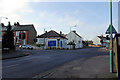
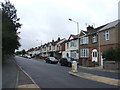
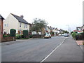
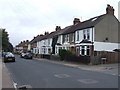
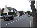
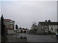
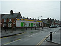
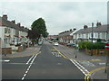

80 photos from this area
Area Information
Key information about the ME7 2JS including its size, population, and administrative classification.
- Area Type
- Postcode
- Area Size
- 5044 m²
- Population
- 1455
- Population Density
- 6572 people/km²
House Prices in ME7 2JS
15
Properties
£170,500
Average Sold Price
£43,500
Lowest Price
£296,000
Highest Price
Showing 15 properties
| Address | Type | Beds | Baths | Last Sale Price | Last Sale Date | |
|---|---|---|---|---|---|---|
| 85 Sturdee Avenue, Gillingham, ME7 2JS | Terraced | 3 | 1 | £290,000 | May 2024 | |
| 87 Sturdee Avenue, Gillingham, ME7 2JS | Terraced | 3 | 1 | £255,000 | Dec 2019 | |
| 79 Sturdee Avenue, Gillingham, ME7 2JS | house | - | - | £296,000 | Jan 2017 | |
| 83 Sturdee Avenue, Gillingham, ME7 2JS | Terraced | 3 | 1 | £231,500 | Apr 2016 | |
| 77 Sturdee Avenue, Gillingham, ME7 2JS | Terraced | 3 | 1 | £115,000 | May 2012 | |
| 73 Sturdee Avenue, Gillingham, ME7 2JS | Terraced | - | - | £89,000 | Dec 2000 | |
| 67 Sturdee Avenue, Gillingham, ME7 2JS | Terraced | 3 | 1 | £44,000 | Dec 1996 | |
| 81 Sturdee Avenue, Gillingham, ME7 2JS | house | - | - | £43,500 | May 1995 | |
| 75 Sturdee Avenue, Gillingham, ME7 2JS | Terraced | - | - | - | - | |
| 69 Sturdee Avenue, Gillingham, ME7 2JS | house | 3 | - | - | - |
Page 1 of 2
Energy Efficiency in ME7 2JS
Amenities
Schools
| Rank | School | Type | Entry gender | Ages |
|---|
Explore more schools in this area
Go to Schools tabDemographics
Household Size
Family (3-5 people)
most common
Accommodation Type
Houses
most common
Tenure
72
majority
Ethnic Group
White
most common
Religion
N/A
most common
Household Composition
N/A
most common
Age
47
median
Adults (30-64 years)
most common
Household Deprivation
N/A
with no deprivation
NS-SEC
31
in Lower managerial occupations
Explore more demographic insights in this area
Go to Demographics tabPlanning
Planning Constraints
- Flood RiskPremium
- Ramsar Wetland SitesPremium
- Area of Outstanding Natural BeautyPremium
- Protected Nature ReservePremium
- Protected WoodlandPremium