Area Overview for ME7 1NJ
Photos of ME7 1NJ

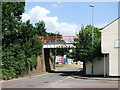
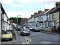
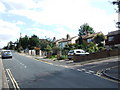
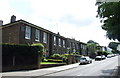
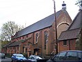
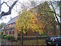
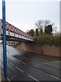
100 photos from this area
Area Information
Key information about the ME7 1NJ including its size, population, and administrative classification.
- Area Type
- Postcode
- Area Size
- 6686 m²
- Population
- 1961
- Population Density
- 6014 people/km²
House Prices in ME7 1NJ
22
Properties
£140,214
Average Sold Price
£65,000
Lowest Price
£295,000
Highest Price
Showing 22 properties
| Address | Type | Beds | Baths | Last Sale Price | Last Sale Date | |
|---|---|---|---|---|---|---|
| 82 Medway Road, Gillingham, ME7 1NJ | house | - | - | £295,000 | Nov 2019 | |
| 32 Medway Road, Gillingham, ME7 1NJ | Maisonette | - | - | £142,500 | Jan 2015 | |
| 54 Medway Road, Gillingham, ME7 1NJ | Flat | - | - | £65,000 | Nov 2013 | |
| 30 Medway Road, Gillingham, ME7 1NJ | Maisonette | 2 | - | £80,000 | Jul 2006 | |
| 84 Medway Road, Gillingham, ME7 1NJ | Terraced | 4 | - | £173,000 | Sep 2005 | |
| 86 Medway Road, Gillingham, ME7 1NJ | Terraced | 3 | 1 | £155,000 | Aug 2005 | |
| 34 Medway Road, Gillingham, ME7 1NJ | Terraced | 3 | 1 | £70,995 | Oct 2002 | |
| 56 Medway Road, Gillingham, ME7 1NJ | Flat | 3 | 1 | - | - | |
| 40 Medway Road, Gillingham, ME7 1NJ | Terraced | 2 | 2 | - | - | |
| 48 Medway Road, Gillingham, ME7 1NJ | Flat | 3 | 1 | - | - |
Page 1 of 3
Energy Efficiency in ME7 1NJ
Amenities
Schools
| Rank | School | Type | Entry gender | Ages |
|---|
Explore more schools in this area
Go to Schools tabDemographics
Household Size
Family (3-5 people)
most common
Accommodation Type
Houses
most common
Tenure
36
majority
Ethnic Group
White
most common
Religion
N/A
most common
Household Composition
N/A
most common
Age
47
median
Adults (30-64 years)
most common
Household Deprivation
N/A
with no deprivation
NS-SEC
22
in Lower managerial occupations
Explore more demographic insights in this area
Go to Demographics tabPlanning
Planning Constraints
- Flood RiskPremium
- Ramsar Wetland SitesPremium
- Area of Outstanding Natural BeautyPremium
- Protected Nature ReservePremium
- Protected WoodlandPremium