Area Overview for ME7 1LS
Photos of ME7 1LS

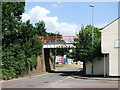
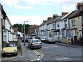
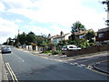
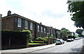
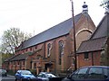
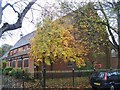
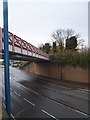
100 photos from this area
Area Information
Key information about the ME7 1LS including its size, population, and administrative classification.
- Area Type
- Postcode
- Area Size
- 6826 m²
- Population
- 1717
- Population Density
- 9834 people/km²
House Prices in ME7 1LS
27
Properties
£119,535
Average Sold Price
£1,000
Lowest Price
£230,000
Highest Price
Showing 27 properties
| Address | Type | Beds | Baths | Last Sale Price | Last Sale Date | |
|---|---|---|---|---|---|---|
| 83 Richmond Road, Gillingham, ME7 1LS | house | 2 | 2 | £230,000 | May 2022 | |
| 87A Richmond Road, Gillingham, ME7 1LS | Flat | - | - | £1,000 | Sep 2021 | |
| 93 Richmond Road, Gillingham, ME7 1LS | Terraced | 3 | 1 | £195,000 | Jul 2021 | |
| 103 Richmond Road, Gillingham, ME7 1LS | Terraced | 3 | 1 | £162,000 | Nov 2019 | |
| 79 Richmond Road, Gillingham, ME7 1LS | Terraced | 2 | 1 | £170,000 | Oct 2017 | |
| 101 Richmond Road, Gillingham, ME7 1LS | Terraced | 1 | 1 | £180,000 | Jul 2017 | |
| 97 Richmond Road, Gillingham, ME7 1LS | Terraced | 3 | 1 | £127,000 | Sep 2014 | |
| 91 Richmond Road, Gillingham, ME7 1LS | Terraced | 2 | - | £96,000 | Jul 2010 | |
| 95 Richmond Road, Gillingham, ME7 1LS | house | 3 | - | £137,000 | Nov 2007 | |
| 126 Richmond Road, Gillingham, ME7 1LS | house | - | - | £100,000 | Oct 2005 |
Page 1 of 3
Energy Efficiency in ME7 1LS
Amenities
Schools
| Rank | School | Type | Entry gender | Ages |
|---|
Explore more schools in this area
Go to Schools tabDemographics
Household Size
Family (3-5 people)
most common
Accommodation Type
Houses
most common
Tenure
51
majority
Ethnic Group
White
most common
Religion
N/A
most common
Household Composition
N/A
most common
Age
47
median
Adults (30-64 years)
most common
Household Deprivation
N/A
with no deprivation
NS-SEC
22
in Lower managerial occupations
Explore more demographic insights in this area
Go to Demographics tabPlanning
Planning Constraints
- Flood RiskPremium
- Ramsar Wetland SitesPremium
- Area of Outstanding Natural BeautyPremium
- Protected Nature ReservePremium
- Protected WoodlandPremium