Area Overview for ME6 5RW
Photos of ME6 5RW
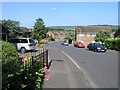
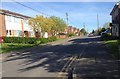
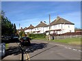
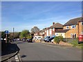
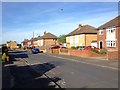
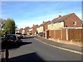
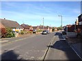
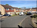
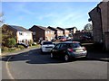
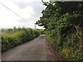
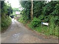
54 photos from this area
Area Information
Key information about the ME6 5RW including its size, population, and administrative classification.
- Area Type
- Postcode
- Area Size
- 2.5 hectares
- Population
- 1717
- Population Density
- 3208 people/km²
House Prices in ME6 5RW
66
Properties
£205,315
Average Sold Price
£53,500
Lowest Price
£425,000
Highest Price
Showing 66 properties
| Address | Type | Beds | Baths | Last Sale Price | Last Sale Date | |
|---|---|---|---|---|---|---|
| 19 Gassons Road, Snodland, ME6 5RW | Semi-detached | 2 | 1 | £350,000 | Sep 2025 | |
| 23 Gassons Road, Snodland, ME6 5RW | house | 2 | 1 | £295,000 | Sep 2025 | |
| 4 Gassons Road, Snodland, ME6 5RW | Semi-detached | 3 | 1 | £425,000 | Jul 2025 | |
| 14 Gassons Road, Snodland, ME6 5RW | Bungalow | 2 | 1 | £350,000 | Feb 2025 | |
| 29 Gassons Road, Snodland, ME6 5RW | house | - | - | £334,200 | May 2024 | |
| 51 Gassons Road, Snodland, ME6 5RW | Bungalow | - | - | £275,000 | Apr 2024 | |
| 34 Gassons Road, Snodland, ME6 5RW | Terraced | 1 | 1 | £220,000 | Oct 2023 | |
| 3 Gassons Road, Snodland, ME6 5RW | house | 1 | 1 | £211,000 | Jun 2023 | |
| 46 Gassons Road, Snodland, ME6 5RW | Terraced | 1 | 1 | £200,000 | Aug 2022 | |
| 59 Gassons Road, Snodland, ME6 5RW | Semi-detached | 3 | 1 | £345,000 | May 2022 |
Page 1 of 7
Energy Efficiency in ME6 5RW
Amenities
Schools
| Rank | School | Type | Entry gender | Ages |
|---|
Explore more schools in this area
Go to Schools tabDemographics
Household Size
Two person
most common
Accommodation Type
Houses
most common
Tenure
90
majority
Ethnic Group
White
most common
Religion
N/A
most common
Household Composition
N/A
most common
Age
47
median
Adults (30-64 years)
most common
Household Deprivation
N/A
with no deprivation
NS-SEC
30
in Lower managerial occupations
Explore more demographic insights in this area
Go to Demographics tabPlanning
Planning Constraints
- Flood RiskPremium
- Ramsar Wetland SitesPremium
- Area of Outstanding Natural BeautyPremium
- Protected Nature ReservePremium
- Protected WoodlandPremium