Area Overview for ME6 5PD
Photos of ME6 5PD

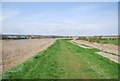
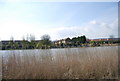
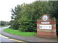
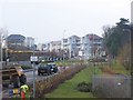
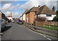
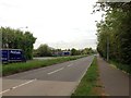
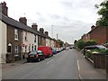
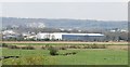
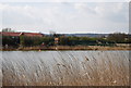
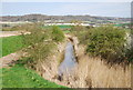
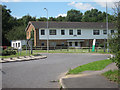
55 photos from this area
Area Information
Key information about the ME6 5PD including its size, population, and administrative classification.
- Area Type
- Postcode
- Area Size
- 3.8 hectares
- Population
- 1941
- Population Density
- 1650 people/km²
House Prices in ME6 5PD
64
Properties
£198,262
Average Sold Price
£56,500
Lowest Price
£475,000
Highest Price
Showing 64 properties
| Address | Type | Beds | Baths | Last Sale Price | Last Sale Date | |
|---|---|---|---|---|---|---|
| 205 Holborough Road, Snodland, ME6 5PD | house | 2 | 1 | £220,000 | Apr 2025 | |
| 199 Holborough Road, Snodland, ME6 5PD | house | 2 | - | £222,500 | Jul 2024 | |
| 197 Holborough Road, Snodland, ME6 5PD | Terraced | 3 | 1 | £272,500 | Jan 2024 | |
| 161A Holborough Road, Snodland, ME6 5PD | house | 3 | 1 | £320,000 | Nov 2023 | |
| 153 Holborough Road, Snodland, ME6 5PD | house | 2 | 1 | £285,000 | Nov 2023 | |
| 149 Holborough Road, Snodland, ME6 5PD | Terraced | 3 | 1 | £315,000 | Jan 2023 | |
| 139 Holborough Road, Snodland, ME6 5PD | Terraced | 3 | 2 | £315,000 | Jan 2023 | |
| 103 Holborough Road, Snodland, ME6 5PD | Terraced | 2 | 1 | £290,500 | Dec 2022 | |
| 173 Holborough Road, Snodland, ME6 5PD | Terraced | 2 | 1 | £260,100 | Dec 2022 | |
| 127 Holborough Road, Snodland, ME6 5PD | Terraced | 2 | 1 | £257,500 | Jan 2022 |
Page 1 of 7
Energy Efficiency in ME6 5PD
Amenities
Schools
| Rank | School | Type | Entry gender | Ages |
|---|
Explore more schools in this area
Go to Schools tabDemographics
Household Size
Family (3-5 people)
most common
Accommodation Type
Houses
most common
Tenure
57
majority
Ethnic Group
White
most common
Religion
N/A
most common
Household Composition
N/A
most common
Age
47
median
Adults (30-64 years)
most common
Household Deprivation
N/A
with no deprivation
NS-SEC
28
in Lower managerial occupations
Explore more demographic insights in this area
Go to Demographics tabPlanning
Planning Constraints
- Flood RiskPremium
- Ramsar Wetland SitesPremium
- Area of Outstanding Natural BeautyPremium
- Protected Nature ReservePremium
- Protected WoodlandPremium