Area Overview for ME5 8SY
Photos of ME5 8SY
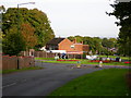
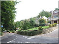
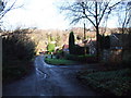
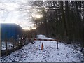
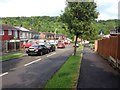
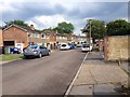
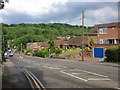
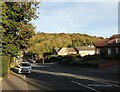
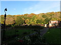
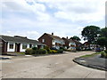
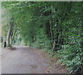
60 photos from this area
Area Information
Key information about the ME5 8SY including its size, population, and administrative classification.
- Area Type
- Postcode
- Area Size
- 7175 m²
- Population
- 1531
- Population Density
- 5186 people/km²
House Prices in ME5 8SY
19
Properties
£148,299
Average Sold Price
£43,000
Lowest Price
£317,000
Highest Price
Showing 19 properties
| Address | Type | Beds | Baths | Last Sale Price | Last Sale Date | |
|---|---|---|---|---|---|---|
| 59 Phoenix Road, Lordswood, Chatham, ME5 8SY | Terraced | 2 | 1 | £285,000 | Dec 2023 | |
| 47 Phoenix Road, Lordswood, Chatham, ME5 8SY | house | - | - | £272,500 | Oct 2021 | |
| 31 Phoenix Road, Lordswood, Chatham, ME5 8SY | Bungalow | 3 | 2 | £317,000 | May 2021 | |
| 57 Phoenix Road, Lordswood, Chatham, ME5 8SY | house | - | - | £217,500 | Dec 2018 | |
| 65 Phoenix Road, Lordswood, Chatham, ME5 8SY | Terraced | 4 | 1 | £205,000 | Oct 2018 | |
| 63 Phoenix Road, Lordswood, Chatham, ME5 8SY | Terraced | 4 | 1 | £235,000 | Jul 2017 | |
| 39 Phoenix Road, Lordswood, Chatham, ME5 8SY | house | - | - | £130,950 | Jul 2010 | |
| 41 Phoenix Road, Lordswood, Chatham, ME5 8SY | house | - | - | £95,000 | Sep 2002 | |
| 55 Phoenix Road, Lordswood, Chatham, ME5 8SY | Terraced | - | - | £65,000 | Apr 2001 | |
| 53 Phoenix Road, Lordswood, Chatham, ME5 8SY | Terraced | - | - | £59,995 | Apr 2000 |
Page 1 of 2
Energy Efficiency in ME5 8SY
Amenities
Schools
| Rank | School | Type | Entry gender | Ages |
|---|
Explore more schools in this area
Go to Schools tabDemographics
Household Size
Family (3-5 people)
most common
Accommodation Type
Houses
most common
Tenure
72
majority
Ethnic Group
White
most common
Religion
N/A
most common
Household Composition
N/A
most common
Age
47
median
Adults (30-64 years)
most common
Household Deprivation
N/A
with no deprivation
NS-SEC
25
in Lower managerial occupations
Explore more demographic insights in this area
Go to Demographics tabPlanning
Planning Constraints
- Flood RiskPremium
- Ramsar Wetland SitesPremium
- Area of Outstanding Natural BeautyPremium
- Protected Nature ReservePremium
- Protected WoodlandPremium