Area Overview for ME5 8RA
Photos of ME5 8RA
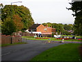
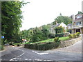

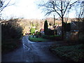
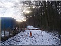
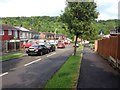
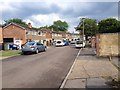
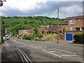
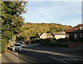
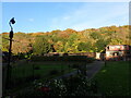
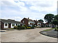
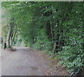
60 photos from this area
Area Information
Key information about the ME5 8RA including its size, population, and administrative classification.
- Area Type
- Postcode
- Area Size
- 2.2 hectares
- Population
- 1531
- Population Density
- 5186 people/km²
House Prices in ME5 8RA
42
Properties
£209,629
Average Sold Price
£55,000
Lowest Price
£355,000
Highest Price
Showing 42 properties
| Address | Type | Beds | Baths | Last Sale Price | Last Sale Date | |
|---|---|---|---|---|---|---|
| 643 Lordswood Lane, Lordswood, Chatham, ME5 8RA | house | - | - | £295,000 | Sep 2024 | |
| 711 Lordswood Lane, Lordswood, Chatham, ME5 8RA | Semi-detached | 3 | 1 | £325,000 | Mar 2024 | |
| 703 Lordswood Lane, Lordswood, Chatham, ME5 8RA | house | 4 | 1 | £347,000 | Oct 2022 | |
| 631 Lordswood Lane, Lordswood, Chatham, ME5 8RA | Semi-detached | 3 | 1 | £350,000 | May 2022 | |
| 693 Lordswood Lane, Lordswood, Chatham, ME5 8RA | house | - | - | £310,000 | Jun 2021 | |
| 681 Lordswood Lane, Lordswood, Chatham, ME5 8RA | house | - | - | £355,000 | Mar 2021 | |
| 695 Lordswood Lane, Lordswood, Chatham, ME5 8RA | Terraced | 3 | 2 | £267,000 | Oct 2020 | |
| 635 Lordswood Lane, Lordswood, Chatham, ME5 8RA | Terraced | 3 | 2 | £270,000 | Dec 2019 | |
| 687 Lordswood Lane, Lordswood, Chatham, ME5 8RA | Semi-detached | 3 | 1 | £280,000 | Jun 2018 | |
| 669 Lordswood Lane, Lordswood, Chatham, ME5 8RA | Semi-detached | 3 | - | £262,000 | Sep 2017 |
Page 1 of 5
Energy Efficiency in ME5 8RA
Amenities
Schools
| Rank | School | Type | Entry gender | Ages |
|---|
Explore more schools in this area
Go to Schools tabDemographics
Household Size
Family (3-5 people)
most common
Accommodation Type
Houses
most common
Tenure
72
majority
Ethnic Group
White
most common
Religion
N/A
most common
Household Composition
N/A
most common
Age
47
median
Adults (30-64 years)
most common
Household Deprivation
N/A
with no deprivation
NS-SEC
25
in Lower managerial occupations
Explore more demographic insights in this area
Go to Demographics tabPlanning
Planning Constraints
- Flood RiskPremium
- Ramsar Wetland SitesPremium
- Area of Outstanding Natural BeautyPremium
- Protected Nature ReservePremium
- Protected WoodlandPremium