Area Overview for ME5 7PR
Photos of ME5 7PR

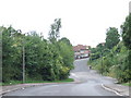
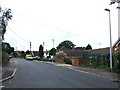


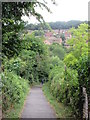
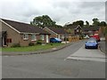

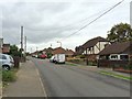
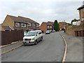
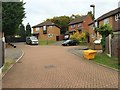
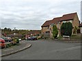
59 photos from this area
Area Information
Key information about the ME5 7PR including its size, population, and administrative classification.
- Area Type
- Postcode
- Area Size
- 4.5 hectares
- Population
- 1631
- Population Density
- 4593 people/km²
House Prices in ME5 7PR
59
Properties
£290,094
Average Sold Price
£82,000
Lowest Price
£530,000
Highest Price
Showing 59 properties
| Address | Type | Beds | Baths | Last Sale Price | Last Sale Date | |
|---|---|---|---|---|---|---|
| 60 Swallow Rise, Princes Park, Chatham, ME5 7PR | Terraced | 3 | 1 | £325,000 | Apr 2025 | |
| 31 Swallow Rise, Princes Park, Chatham, ME5 7PR | Land | - | - | £365,000 | Mar 2025 | |
| 4 Swallow Rise, Princes Park, Chatham, ME5 7PR | Detached | 4 | 1 | £445,000 | Mar 2025 | |
| 22 Swallow Rise, Princes Park, Chatham, ME5 7PR | Detached | 4 | 3 | £423,000 | Mar 2025 | |
| 41 Swallow Rise, Princes Park, Chatham, ME5 7PR | house | - | - | £450,000 | Oct 2024 | |
| 62 Swallow Rise, Princes Park, Chatham, ME5 7PR | house | - | - | £305,000 | Sep 2024 | |
| 50 Swallow Rise, Princes Park, Chatham, ME5 7PR | Semi-detached | 3 | 1 | £391,000 | Aug 2024 | |
| 19 Swallow Rise, Princes Park, Chatham, ME5 7PR | Detached | 5 | 2 | £450,000 | Jul 2024 | |
| 42 Swallow Rise, Princes Park, Chatham, ME5 7PR | house | 4 | 1 | £375,000 | Jun 2024 | |
| 56 Swallow Rise, Princes Park, Chatham, ME5 7PR | Semi-detached | 3 | 1 | £300,000 | Jan 2024 |
Page 1 of 6
Energy Efficiency in ME5 7PR
Amenities
Schools
| Rank | School | Type | Entry gender | Ages |
|---|
Explore more schools in this area
Go to Schools tabDemographics
Household Size
Family (3-5 people)
most common
Accommodation Type
Houses
most common
Tenure
85
majority
Ethnic Group
White
most common
Religion
N/A
most common
Household Composition
N/A
most common
Age
47
median
Adults (30-64 years)
most common
Household Deprivation
N/A
with no deprivation
NS-SEC
35
in Lower managerial occupations
Explore more demographic insights in this area
Go to Demographics tabPlanning
Planning Constraints
- Flood RiskPremium
- Ramsar Wetland SitesPremium
- Area of Outstanding Natural BeautyPremium
- Protected Nature ReservePremium
- Protected WoodlandPremium