Area Overview for ME5 0QU
Photos of ME5 0QU
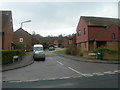
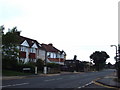
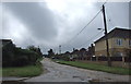
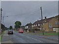
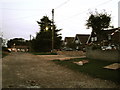
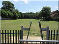
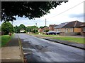
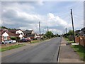
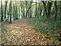
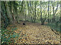
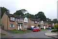
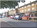
62 photos from this area
Area Information
Key information about the ME5 0QU including its size, population, and administrative classification.
- Area Type
- Postcode
- Area Size
- 4276 m²
- Population
- 1661
- Population Density
- 4897 people/km²
House Prices in ME5 0QU
18
Properties
£148,000
Average Sold Price
£50,000
Lowest Price
£210,000
Highest Price
Showing 18 properties
| Address | Type | Beds | Baths | Last Sale Price | Last Sale Date | |
|---|---|---|---|---|---|---|
| 14 Silverweed Road, Weeds Wood, Chatham, ME5 0QU | Terraced | 3 | 1 | £196,000 | Jun 2025 | |
| 16 Silverweed Road, Weeds Wood, Chatham, ME5 0QU | Terraced | 3 | 1 | £190,000 | Jul 2019 | |
| 21 Silverweed Road, Weeds Wood, Chatham, ME5 0QU | Terraced | 3 | - | £210,000 | Sep 2016 | |
| 25 Silverweed Road, Weeds Wood, Chatham, ME5 0QU | house | 3 | 1 | £180,000 | May 2015 | |
| 23 Silverweed Road, Weeds Wood, Chatham, ME5 0QU | house | - | - | £130,000 | Mar 2011 | |
| 29 Silverweed Road, Weeds Wood, Chatham, ME5 0QU | Terraced | 3 | 1 | £108,000 | Mar 2009 | |
| 34 Silverweed Road, Weeds Wood, Chatham, ME5 0QU | Terraced | - | - | £120,000 | Oct 2005 | |
| 26 Silverweed Road, Weeds Wood, Chatham, ME5 0QU | house | - | - | £50,000 | Feb 2001 | |
| 24 Silverweed Road, Weeds Wood, Chatham, ME5 0QU | Terraced | 2 | 2 | - | - | |
| 33 Silverweed Road, Weeds Wood, Chatham, ME5 0QU | house | - | - | - | - |
Page 1 of 2
Energy Efficiency in ME5 0QU
Amenities
Schools
| Rank | School | Type | Entry gender | Ages |
|---|
Explore more schools in this area
Go to Schools tabDemographics
Household Size
Family (3-5 people)
most common
Accommodation Type
Houses
most common
Tenure
66
majority
Ethnic Group
White
most common
Religion
N/A
most common
Household Composition
N/A
most common
Age
47
median
Adults (30-64 years)
most common
Household Deprivation
N/A
with no deprivation
NS-SEC
27
in Lower managerial occupations
Explore more demographic insights in this area
Go to Demographics tabPlanning
Planning Constraints
- Flood RiskPremium
- Ramsar Wetland SitesPremium
- Area of Outstanding Natural BeautyPremium
- Protected Nature ReservePremium
- Protected WoodlandPremium