Area Overview for ME5 0AA
Photos of ME5 0AA
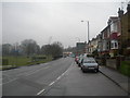
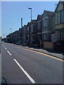
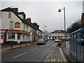
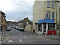
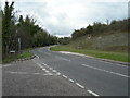
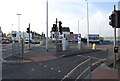
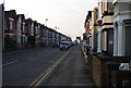
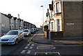
100 photos from this area
Area Information
Key information about the ME5 0AA including its size, population, and administrative classification.
- Area Type
- Postcode
- Area Size
- 7698 m²
- Population
- 1709
- Population Density
- 4134 people/km²
House Prices in ME5 0AA
7
Properties
£243,333
Average Sold Price
£180,000
Lowest Price
£290,000
Highest Price
Showing 7 properties
| Address | Type | Beds | Baths | Last Sale Price | Last Sale Date | |
|---|---|---|---|---|---|---|
| 9 Street End Road, Wayfield, Chatham, ME5 0AA | house | - | - | £250,000 | Feb 2025 | |
| 21 Street End Road, Wayfield, Chatham, ME5 0AA | Bungalow | 1 | - | £290,000 | Mar 2022 | |
| 15 Street End Road, Wayfield, Chatham, ME5 0AA | Bungalow | 2 | 1 | £260,000 | Nov 2018 | |
| 17 Street End Road, Wayfield, Chatham, ME5 0AA | Semi-detached | 3 | - | £250,000 | Sep 2018 | |
| Caxton, 7 Street End Road, Wayfield, Chatham, ME5 0AA | Semi-detached | 2 | 1 | £230,000 | Feb 2014 | |
| Loyal Care Home, 19 Street End Road, Wayfield, Chatham, ME5 0AA | house | - | - | £180,000 | Apr 2007 | |
| 11 Street End Road, Wayfield, Chatham, ME5 0AA | Semi-detached | - | - | - | - |
Energy Efficiency in ME5 0AA
Amenities
Schools
| Rank | School | Type | Entry gender | Ages |
|---|
Explore more schools in this area
Go to Schools tabDemographics
Household Size
One person
most common
Accommodation Type
Houses
most common
Tenure
50
majority
Ethnic Group
White
most common
Religion
N/A
most common
Household Composition
N/A
most common
Age
47
median
Adults (30-64 years)
most common
Household Deprivation
N/A
with no deprivation
NS-SEC
21
in Lower managerial occupations
Explore more demographic insights in this area
Go to Demographics tabPlanning
Planning Constraints
- Flood RiskPremium
- Ramsar Wetland SitesPremium
- Area of Outstanding Natural BeautyPremium
- Protected Nature ReservePremium
- Protected WoodlandPremium