Area Overview for ME4 4FU
Photos of ME4 4FU
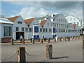
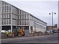
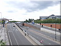
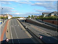
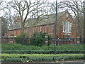
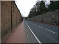
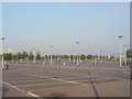
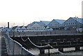
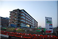
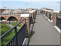

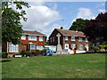
100 photos from this area
Area Information
Key information about the ME4 4FU including its size, population, and administrative classification.
- Area Type
- Postcode
- Area Size
- 6524 m²
- Population
- 2125
- Population Density
- 1163 people/km²
House Prices in ME4 4FU
23
Properties
£436,822
Average Sold Price
£354,950
Lowest Price
£475,000
Highest Price
Showing 23 properties
| Address | Type | Beds | Baths | Last Sale Price | Last Sale Date | |
|---|---|---|---|---|---|---|
| 9 Wheelwrights Way, Chatham, ME4 4FU | house | - | - | £450,000 | Mar 2023 | |
| 29 Wheelwrights Way, Chatham, ME4 4FU | house | - | - | £430,000 | Dec 2022 | |
| 31 Wheelwrights Way, Chatham, ME4 4FU | house | - | - | £435,000 | Nov 2022 | |
| 11 Wheelwrights Way, Chatham, ME4 4FU | house | - | - | £460,000 | Sep 2022 | |
| 5 Wheelwrights Way, Chatham, ME4 4FU | house | - | - | £420,000 | Aug 2022 | |
| 7 Wheelwrights Way, Chatham, ME4 4FU | house | - | - | £470,000 | Aug 2022 | |
| 3 Wheelwrights Way, Chatham, ME4 4FU | Terraced | 4 | 2 | £415,000 | Jun 2022 | |
| 17 Wheelwrights Way, Chatham, ME4 4FU | house | - | - | £437,600 | Jun 2022 | |
| 1 Wheelwrights Way, Chatham, ME4 4FU | house | - | - | £420,000 | Jun 2022 | |
| 23 Wheelwrights Way, Chatham, ME4 4FU | house | - | - | £437,600 | Jun 2022 |
Page 1 of 3
Energy Efficiency in ME4 4FU
Amenities
Schools
| Rank | School | Type | Entry gender | Ages |
|---|
Explore more schools in this area
Go to Schools tabDemographics
Household Size
One person
most common
Accommodation Type
Flats
most common
Tenure
36
majority
Ethnic Group
White
most common
Religion
N/A
most common
Household Composition
N/A
most common
Age
22
median
Young Adults (15-29 years)
most common
Household Deprivation
N/A
with no deprivation
NS-SEC
28
in Lower managerial occupations
Explore more demographic insights in this area
Go to Demographics tabPlanning
Planning Constraints
- Flood RiskPremium
- Ramsar Wetland SitesPremium
- Area of Outstanding Natural BeautyPremium
- Protected Nature ReservePremium
- Protected WoodlandPremium