Area Overview for ME2 3QJ
Photos of ME2 3QJ

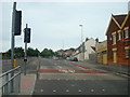
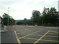
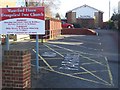
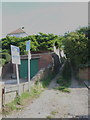
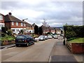
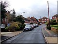


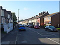


48 photos from this area
Area Information
Key information about the ME2 3QJ including its size, population, and administrative classification.
- Area Type
- Postcode
- Area Size
- 1.3 hectares
- Population
- 1679
- Population Density
- 5834 people/km²
House Prices in ME2 3QJ
14
Properties
£410,775
Average Sold Price
£132,750
Lowest Price
£590,000
Highest Price
Showing 14 properties
| Address | Type | Beds | Baths | Last Sale Price | Last Sale Date | |
|---|---|---|---|---|---|---|
| 78 Watling Street, Strood, Rochester, ME2 3QJ | Semi-detached | 5 | 3 | £525,000 | Feb 2024 | |
| 72 Watling Street, Strood, Rochester, ME2 3QJ | Semi-detached | 5 | 1 | £470,000 | Jun 2023 | |
| 86 Watling Street, Strood, Rochester, ME2 3QJ | Detached | 5 | 3 | £590,000 | Apr 2020 | |
| 70 Watling Street, Strood, Rochester, ME2 3QJ | house | - | - | £525,000 | Nov 2019 | |
| 88 Watling Street, Strood, Rochester, ME2 3QJ | Detached | 5 | 4 | £560,000 | Mar 2017 | |
| 80 Watling Street, Strood, Rochester, ME2 3QJ | house | 4 | - | £375,000 | Oct 2012 | |
| 92 Watling Street, Strood, Rochester, ME2 3QJ | Detached | - | - | £355,000 | May 2010 | |
| 84 Watling Street, Strood, Rochester, ME2 3QJ | house | - | - | £325,000 | Dec 2009 | |
| 114 Watling Street, Strood, Rochester, ME2 3QJ | Semi-detached | - | - | £249,995 | Dec 2005 | |
| 112 Watling Street, Strood, Rochester, ME2 3QJ | Semi-detached | - | - | £132,750 | Sep 1998 |
Page 1 of 2
Energy Efficiency in ME2 3QJ
Amenities
Schools
| Rank | School | Type | Entry gender | Ages |
|---|
Explore more schools in this area
Go to Schools tabDemographics
Household Size
Family (3-5 people)
most common
Accommodation Type
Houses
most common
Tenure
85
majority
Ethnic Group
White
most common
Religion
N/A
most common
Household Composition
N/A
most common
Age
47
median
Adults (30-64 years)
most common
Household Deprivation
N/A
with no deprivation
NS-SEC
34
in Lower managerial occupations
Explore more demographic insights in this area
Go to Demographics tabPlanning
Planning Constraints
- Flood RiskPremium
- Ramsar Wetland SitesPremium
- Area of Outstanding Natural BeautyPremium
- Protected Nature ReservePremium
- Protected WoodlandPremium