Area Overview for ME19 6UE
Photos of ME19 6UE

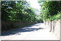
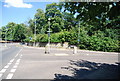


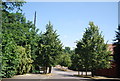
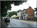
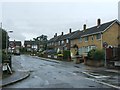

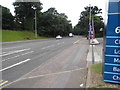
59 photos from this area
Area Information
Key information about the ME19 6UE including its size, population, and administrative classification.
- Area Type
- Postcode
- Area Size
- 2.8 hectares
- Population
- 1839
- Population Density
- 1161 people/km²
House Prices in ME19 6UE
33
Properties
£273,347
Average Sold Price
£60,000
Lowest Price
£540,000
Highest Price
Showing 33 properties
| Address | Type | Beds | Baths | Last Sale Price | Last Sale Date | |
|---|---|---|---|---|---|---|
| 68 Chatfield Way, East Malling, West Malling, ME19 6UE | Semi-detached | 3 | 1 | £400,000 | Jan 2025 | |
| 62 Chatfield Way, East Malling, West Malling, ME19 6UE | Terraced | 3 | 1 | £375,000 | Dec 2023 | |
| 55 Chatfield Way, East Malling, West Malling, ME19 6UE | Semi-detached | 3 | 2 | £386,000 | Mar 2023 | |
| 54 Chatfield Way, East Malling, West Malling, ME19 6UE | house | 3 | 1 | £366,000 | Dec 2022 | |
| 73 Chatfield Way, East Malling, West Malling, ME19 6UE | Retail | 3 | 1 | £355,000 | Oct 2022 | |
| 66 Chatfield Way, East Malling, West Malling, ME19 6UE | house | - | - | £305,000 | Oct 2021 | |
| 59 Chatfield Way, East Malling, West Malling, ME19 6UE | Terraced | 3 | - | £340,000 | Sep 2021 | |
| 56 Chatfield Way, East Malling, West Malling, ME19 6UE | house | 3 | - | £310,000 | Oct 2020 | |
| 84 Chatfield Way, East Malling, West Malling, ME19 6UE | house | - | - | £540,000 | Sep 2019 | |
| 57 Chatfield Way, East Malling, West Malling, ME19 6UE | Terraced | 3 | 1 | £290,000 | Jun 2018 |
Page 1 of 4
Energy Efficiency in ME19 6UE
Amenities
Schools
| Rank | School | Type | Entry gender | Ages |
|---|
Explore more schools in this area
Go to Schools tabDemographics
Household Size
Family (3-5 people)
most common
Accommodation Type
Houses
most common
Tenure
52
majority
Ethnic Group
White
most common
Religion
N/A
most common
Household Composition
N/A
most common
Age
47
median
Adults (30-64 years)
most common
Household Deprivation
N/A
with no deprivation
NS-SEC
30
in Lower managerial occupations
Explore more demographic insights in this area
Go to Demographics tabPlanning
Planning Constraints
- Flood RiskPremium
- Ramsar Wetland SitesPremium
- Area of Outstanding Natural BeautyPremium
- Protected Nature ReservePremium
- Protected WoodlandPremium