Area Overview for ME19 6HR
Photos of ME19 6HR
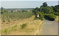
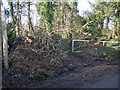


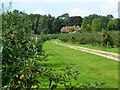
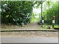
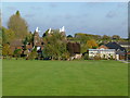
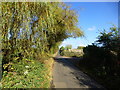
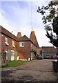
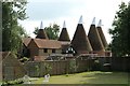

31 photos from this area
Area Information
Key information about the ME19 6HR including its size, population, and administrative classification.
- Area Type
- Postcode
- Area Size
- 58.3 hectares
- Population
- 2983
- Population Density
- 2036 people/km²
House Prices in ME19 6HR
16
Properties
£1,041,000
Average Sold Price
£365,000
Lowest Price
£2,000,000
Highest Price
Showing 16 properties
| Address | Type | Beds | Baths | Last Sale Price | Last Sale Date | |
|---|---|---|---|---|---|---|
| Willowfields, 158 Lavenders Road, West Malling, ME19 6HR | Detached | 6 | 4 | £1,500,000 | Feb 2021 | |
| 135 Lavenders Road, West Malling, ME19 6HR | Cottage | 4 | 3 | £580,000 | Oct 2019 | |
| New Barns House, 150 Lavenders Road, West Malling, ME19 6HR | Detached | 6 | 5 | £2,000,000 | Apr 2018 | |
| 5 New Barns Oast, 142A Lavenders Road, West Malling, ME19 6HR | house | 3 | 2 | £365,000 | Mar 2018 | |
| Stable Cottage, 140 Lavenders Road, West Malling, ME19 6HR | Detached | 4 | 3 | £760,000 | Sep 2017 | |
| 3 New Barns Oast, 144 Lavenders Road, West Malling, ME19 6HR | Semi-detached | 4 | 3 | - | - | |
| 31 Frogmore Street, Kings Hill, West Malling, ME19 6HR | Detached | - | - | - | - | |
| The Lodge, Lavenders Road, West Malling, ME19 6HR | Mobile Home | - | - | - | - | |
| The Lodge, Copy Hoath Woods, Lavenders Road, West Malling, ME19 6HR | Detached | - | - | - | - | |
| 1 The Lodge, Hoath Wood, Lavenders Road, West Malling, ME19 6HR | Mobile Home | - | - | - | - |
Page 1 of 2
Energy Efficiency in ME19 6HR
Amenities
Schools
| Rank | School | Type | Entry gender | Ages |
|---|
Explore more schools in this area
Go to Schools tabDemographics
Household Size
Family (3-5 people)
most common
Accommodation Type
Houses
most common
Tenure
76
majority
Ethnic Group
White
most common
Religion
N/A
most common
Household Composition
N/A
most common
Age
47
median
Adults (30-64 years)
most common
Household Deprivation
N/A
with no deprivation
NS-SEC
49
in Lower managerial occupations
Explore more demographic insights in this area
Go to Demographics tabPlanning
Planning Constraints
- Flood RiskPremium
- Ramsar Wetland SitesPremium
- Area of Outstanding Natural BeautyPremium
- Protected Nature ReservePremium
- Protected WoodlandPremium