Area Overview for ME19 5FJ
Photos of ME19 5FJ
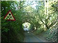
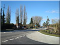
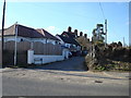
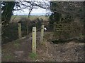
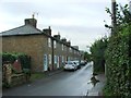
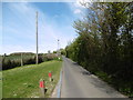
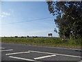
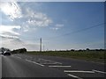
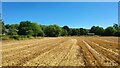
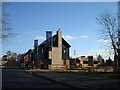
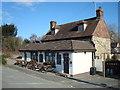
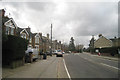
23 photos from this area
Area Information
Key information about the ME19 5FJ including its size, population, and administrative classification.
- Area Type
- Postcode
- Area Size
- 6.3 hectares
- Population
- 1474
- Population Density
- 735 people/km²
House Prices in ME19 5FJ
59
Properties
£300,492
Average Sold Price
£59,375
Lowest Price
£434,500
Highest Price
Showing 59 properties
| Address | Type | Beds | Baths | Last Sale Price | Last Sale Date | |
|---|---|---|---|---|---|---|
| 9 Derby Drive, Leybourne, West Malling, ME19 5FJ | house | 4 | 1 | £425,000 | Aug 2025 | |
| 12 Derby Drive, Leybourne, West Malling, ME19 5FJ | Semi-detached | 4 | 2 | £434,500 | Aug 2024 | |
| 21 Derby Drive, Leybourne, West Malling, ME19 5FJ | house | - | - | £310,000 | Aug 2023 | |
| 27 Derby Drive, Leybourne, West Malling, ME19 5FJ | Semi-detached | 3 | 2 | £375,000 | Jul 2023 | |
| 29 Derby Drive, Leybourne, West Malling, ME19 5FJ | Semi-detached | 4 | 3 | £350,000 | Sep 2021 | |
| 11 Derby Drive, Leybourne, West Malling, ME19 5FJ | Semi-detached | 4 | 1 | £416,500 | Sep 2021 | |
| 31 Derby Drive, Leybourne, West Malling, ME19 5FJ | Terraced | 2 | 2 | £289,995 | Oct 2020 | |
| 32 Derby Drive, Leybourne, West Malling, ME19 5FJ | house | - | - | £290,000 | Feb 2019 | |
| 10 Derby Drive, Leybourne, West Malling, ME19 5FJ | house | - | - | £345,000 | Nov 2014 | |
| 26 Derby Drive, Leybourne, West Malling, ME19 5FJ | house | - | - | £270,000 | Sep 2014 |
Page 1 of 6
Energy Efficiency in ME19 5FJ
Amenities
Schools
| Rank | School | Type | Entry gender | Ages |
|---|
Explore more schools in this area
Go to Schools tabDemographics
Household Size
Two person
most common
Accommodation Type
Houses
most common
Tenure
88
majority
Ethnic Group
White
most common
Religion
N/A
most common
Household Composition
N/A
most common
Age
47
median
Adults (30-64 years)
most common
Household Deprivation
N/A
with no deprivation
NS-SEC
47
in Lower managerial occupations
Explore more demographic insights in this area
Go to Demographics tabPlanning
Planning Constraints
- Flood RiskPremium
- Ramsar Wetland SitesPremium
- Area of Outstanding Natural BeautyPremium
- Protected Nature ReservePremium
- Protected WoodlandPremium