Area Overview for ME19 5AH
Photos of ME19 5AH
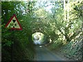
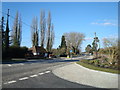
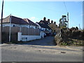

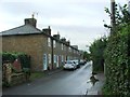
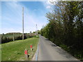
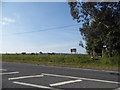

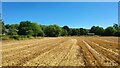
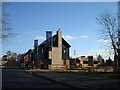
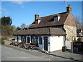
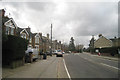
23 photos from this area
Area Information
Key information about the ME19 5AH including its size, population, and administrative classification.
- Area Type
- Postcode
- Area Size
- 9.1 hectares
- Population
- 1748
- Population Density
- 122 people/km²
House Prices in ME19 5AH
20
Properties
£360,333
Average Sold Price
£95,000
Lowest Price
£810,000
Highest Price
Showing 20 properties
| Address | Type | Beds | Baths | Last Sale Price | Last Sale Date | |
|---|---|---|---|---|---|---|
| Holmesdale, London Road, Ryarsh, West Malling, ME19 5AH | house | 3 | 2 | £487,000 | Jul 2022 | |
| The Cottage, London Road, Ryarsh, West Malling, ME19 5AH | Detached | 4 | 2 | £545,000 | May 2022 | |
| Glenville, London Road, Ryarsh, West Malling, ME19 5AH | house | - | - | £460,000 | Apr 2022 | |
| Park View, London Road, Ryarsh, West Malling, ME19 5AH | house | - | - | £385,000 | May 2020 | |
| Little Court, London Road, Ryarsh, West Malling, ME19 5AH | Detached | 6 | 3 | £810,000 | Jun 2016 | |
| Callis Court Cottage, London Road, Ryarsh, West Malling, ME19 5AH | Detached | 4 | 2 | £595,000 | Oct 2013 | |
| Three Oaks, London Road, Ryarsh, West Malling, ME19 5AH | Detached | 4 | - | £230,000 | Nov 2006 | |
| Callis Court Farm, London Road, Ryarsh, West Malling, ME19 5AH | house | - | - | £200,000 | Dec 2004 | |
| Ecclesbourne, London Road, Ryarsh, West Malling, ME19 5AH | Semi-detached | - | - | £185,000 | Dec 2003 | |
| Ravensbourne, London Road, Ryarsh, West Malling, ME19 5AH | Semi-detached | - | - | £187,000 | Jun 2003 |
Page 1 of 2
Energy Efficiency in ME19 5AH
Amenities
Schools
| Rank | School | Type | Entry gender | Ages |
|---|
Explore more schools in this area
Go to Schools tabDemographics
Household Size
Family (3-5 people)
most common
Accommodation Type
Houses
most common
Tenure
78
majority
Ethnic Group
White
most common
Religion
N/A
most common
Household Composition
N/A
most common
Age
47
median
Adults (30-64 years)
most common
Household Deprivation
N/A
with no deprivation
NS-SEC
46
in Lower managerial occupations
Explore more demographic insights in this area
Go to Demographics tabPlanning
Planning Constraints
- Flood RiskPremium
- Ramsar Wetland SitesPremium
- Area of Outstanding Natural BeautyPremium
- Protected Nature ReservePremium
- Protected WoodlandPremium