Area Overview for ME19 4SA
Photos of ME19 4SA
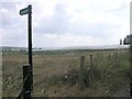
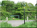
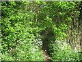
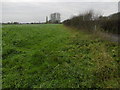
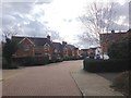
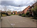

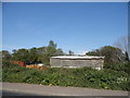
36 photos from this area
Area Information
Key information about the ME19 4SA including its size, population, and administrative classification.
- Area Type
- Postcode
- Area Size
- 1.2 hectares
- Population
- 1174
- Population Density
- 4313 people/km²
House Prices in ME19 4SA
34
Properties
£366,274
Average Sold Price
£83,500
Lowest Price
£700,000
Highest Price
Showing 34 properties
| Address | Type | Beds | Baths | Last Sale Price | Last Sale Date | |
|---|---|---|---|---|---|---|
| 22 Saxon Close, Kings Hill, West Malling, ME19 4SA | Terraced | 3 | 1 | £441,000 | Sep 2025 | |
| 11 Saxon Close, Kings Hill, West Malling, ME19 4SA | Detached | 3 | 2 | £520,000 | Feb 2025 | |
| 30 Saxon Close, Kings Hill, West Malling, ME19 4SA | Detached | 3 | 2 | £477,500 | Jul 2023 | |
| 19 Saxon Close, Kings Hill, West Malling, ME19 4SA | Terraced | 3 | 2 | £402,555 | Oct 2022 | |
| 12 Saxon Close, Kings Hill, West Malling, ME19 4SA | house | - | - | £439,500 | Sep 2022 | |
| 26 Saxon Close, Kings Hill, West Malling, ME19 4SA | house | - | - | £700,000 | Jul 2022 | |
| 31 Saxon Close, Kings Hill, West Malling, ME19 4SA | house | 3 | - | £475,000 | May 2022 | |
| 1 Saxon Close, Kings Hill, West Malling, ME19 4SA | Detached | 4 | 2 | £471,000 | Apr 2022 | |
| 24 Saxon Close, Kings Hill, West Malling, ME19 4SA | Detached | 4 | 2 | £641,000 | Mar 2022 | |
| 32 Saxon Close, Kings Hill, West Malling, ME19 4SA | house | - | - | £425,000 | Sep 2021 |
Page 1 of 4
Energy Efficiency in ME19 4SA
Amenities
Schools
| Rank | School | Type | Entry gender | Ages |
|---|
Explore more schools in this area
Go to Schools tabDemographics
Household Size
Family (3-5 people)
most common
Accommodation Type
Houses
most common
Tenure
85
majority
Ethnic Group
White
most common
Religion
N/A
most common
Household Composition
N/A
most common
Age
47
median
Adults (30-64 years)
most common
Household Deprivation
N/A
with no deprivation
NS-SEC
50
in Lower managerial occupations
Explore more demographic insights in this area
Go to Demographics tabPlanning
Planning Constraints
- Flood RiskPremium
- Ramsar Wetland SitesPremium
- Area of Outstanding Natural BeautyPremium
- Protected Nature ReservePremium
- Protected WoodlandPremium